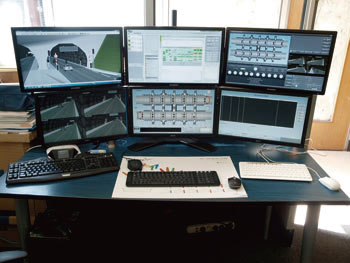
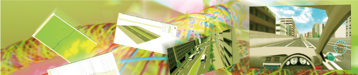
Simulation Application Cases
 |

|
 |
| |
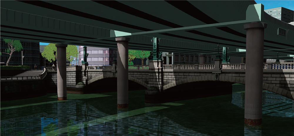
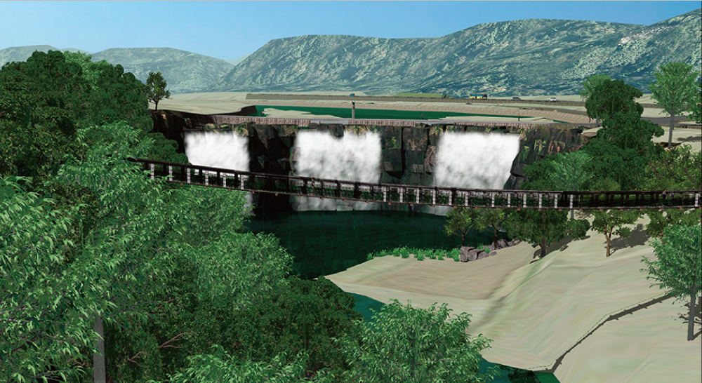
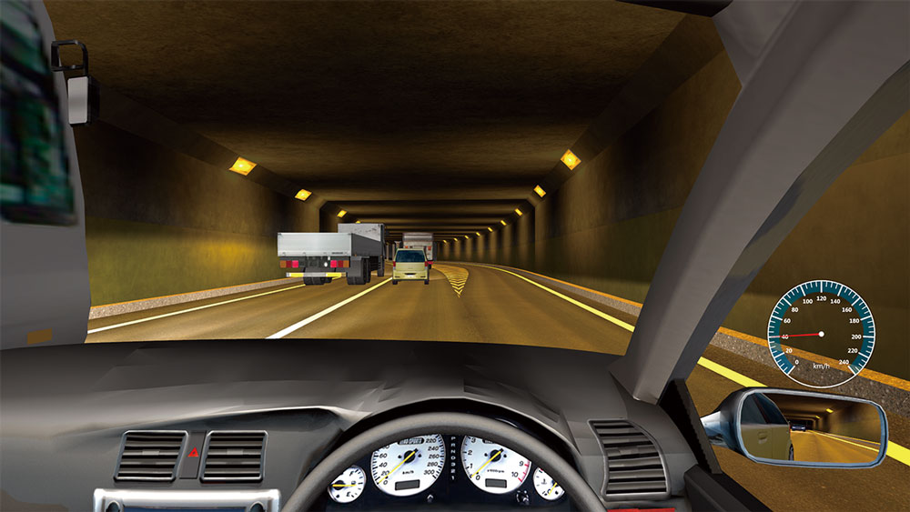
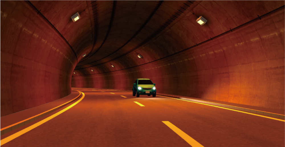
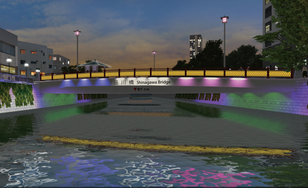
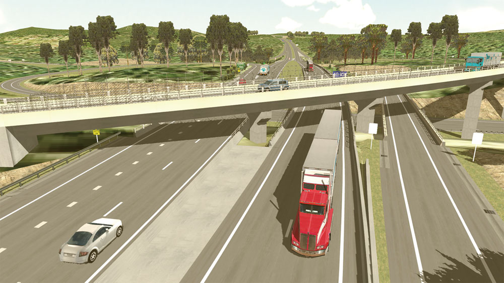
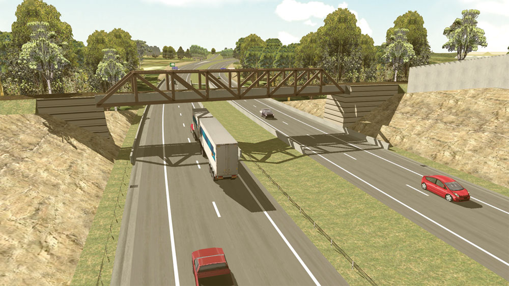
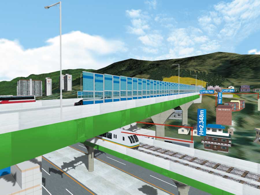
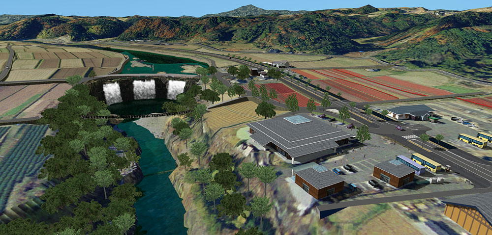
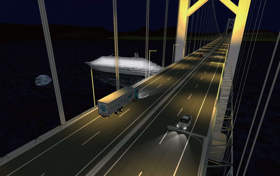
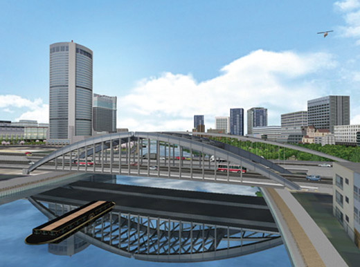
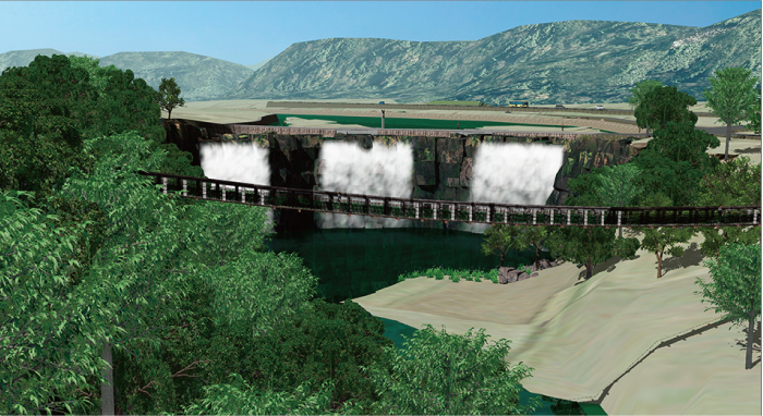
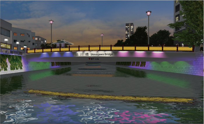
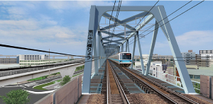
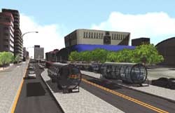
Bridge/Tunnel |
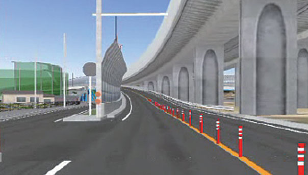
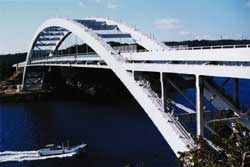
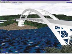
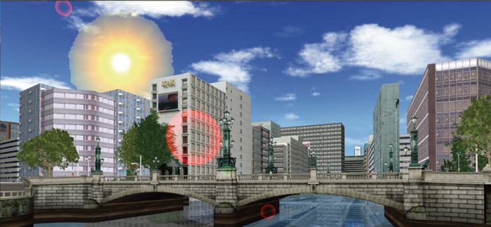
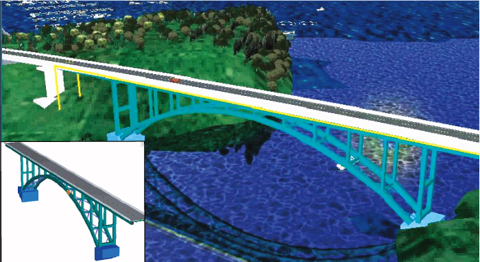
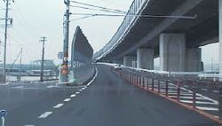
3DVR is effective to select the type of bridge. Design data such as Engineer's Studio® can be applied to bridge models with a"3ds" extension. Examination
of bridge type and color, and adjustment of construction shade according
to seasons and time are available. Driving, walking and flight simulation
are effective to landscape examination. |
|
 Shadow is depicted in detail Shadow is depicted in detail
with the high precision rendering |
|
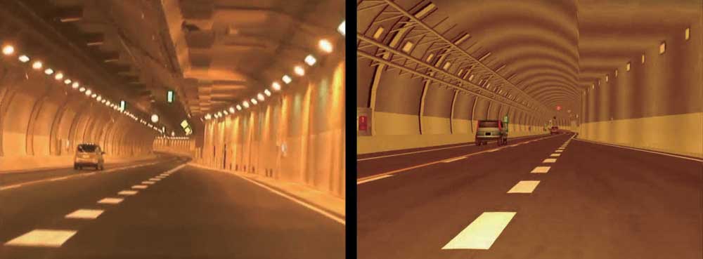
Comparison of actual photo images (Left: actual photo captures; Right: UC-win/Road screen)
Data provided by Nippon Koei Co., Ltd. (Kushimoto Bridge/ Myouga Loop Bridge) |
 |
|
 |
|
 |
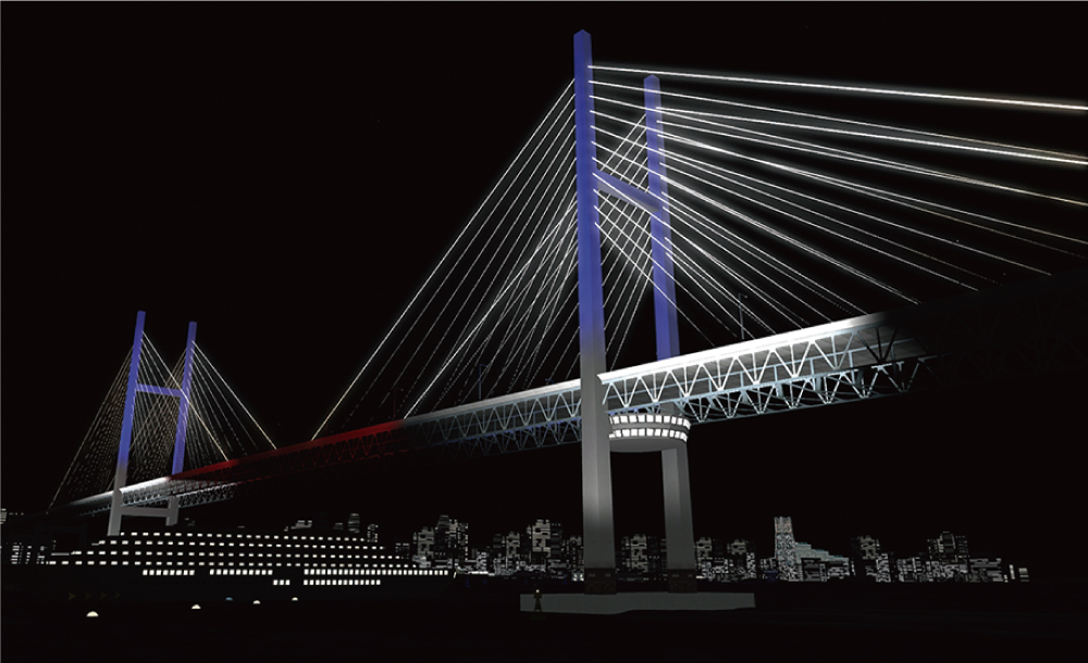
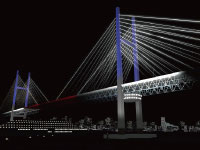
Lighting up bridges can be displayed. |
|
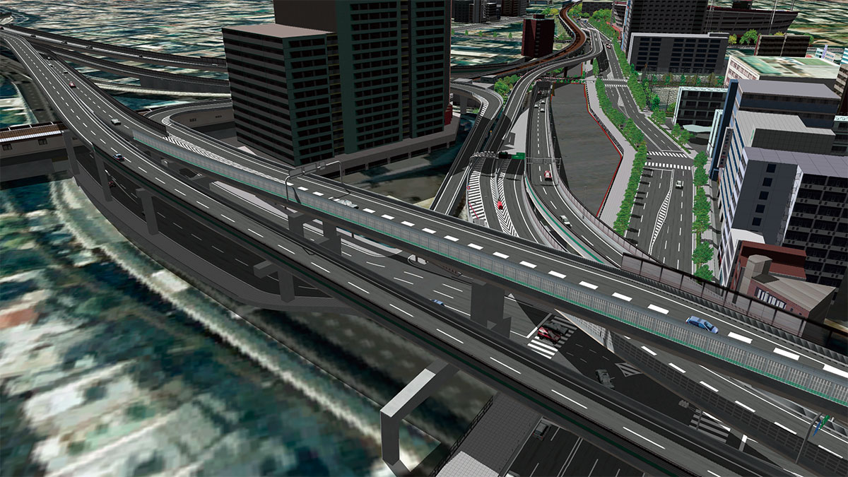
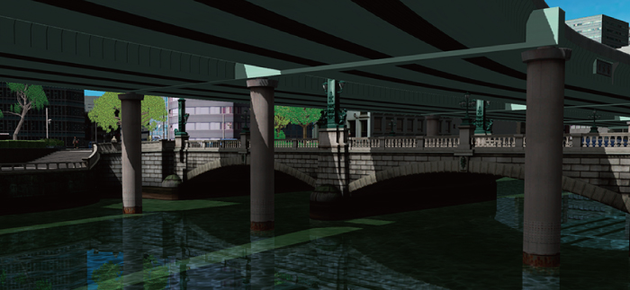
Visual comparison of a bridge before and after the removal of elevated highway on Shuto Expressway (Nihonbashi River) |
 |
|
 |
|
 |
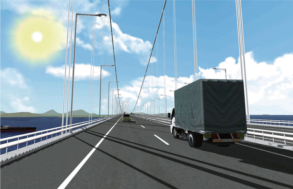
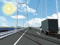
Scene of a truck running over
Great Seto Bridge |
|
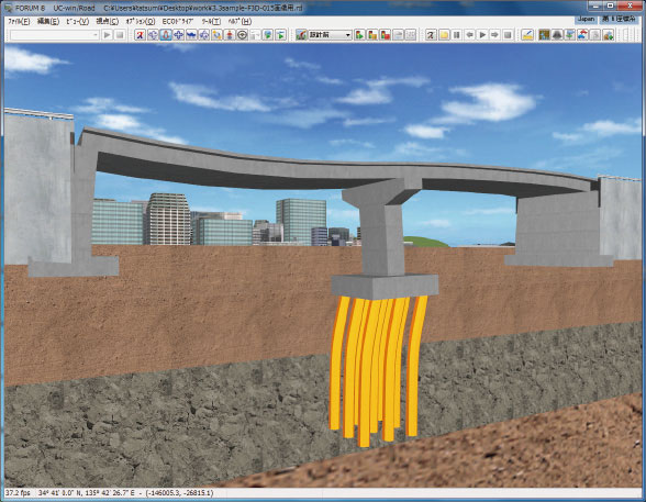
3DS export from Engineer's Studio® |
 |
|
 |
 |
 |
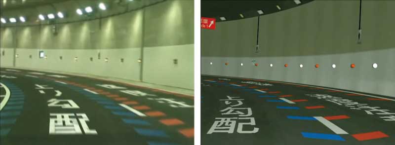
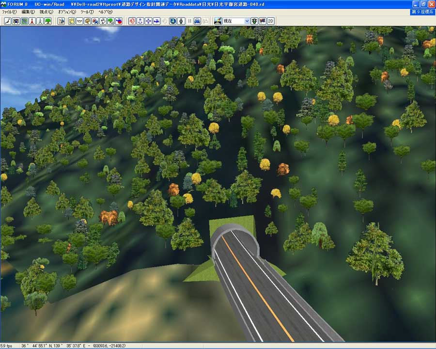
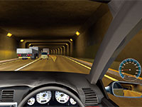
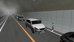
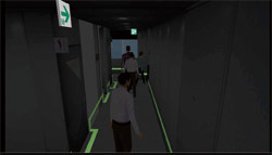
Inside the tunnel |
|
Tunnel entrance design |
|
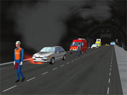
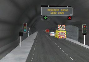
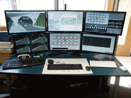
Training system for tunnel administrator via VR (BMIA (France)) |
 |
|
 |
|
 |
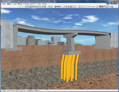
Export 3D graphics from
Engineer's Studio® with a "3ds"
extension. (Behavior is expressed
by operational control) |
|
|
|
|
 |
|
|
|
|
|
|
Page Top  |
| |
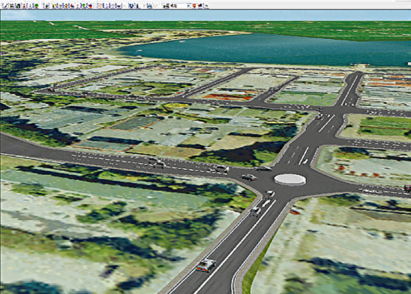
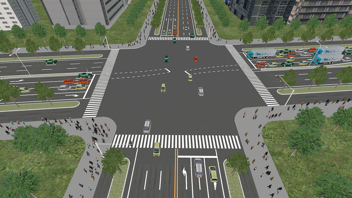
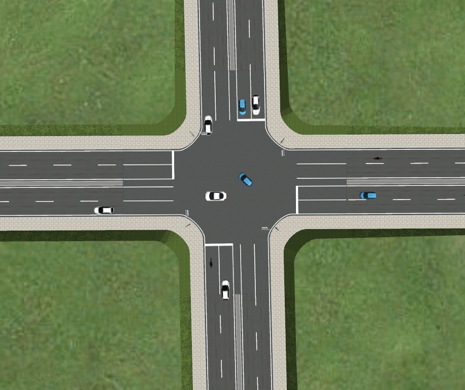
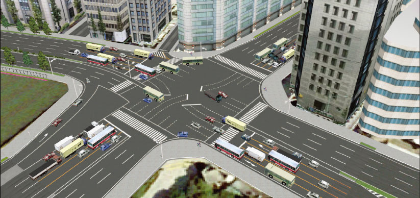
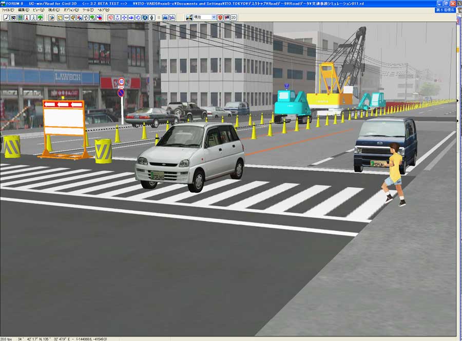
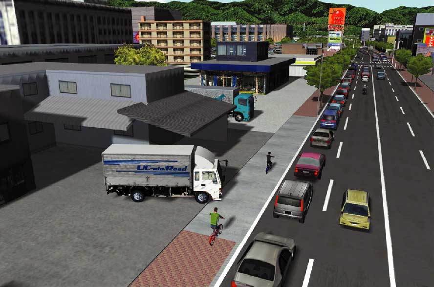
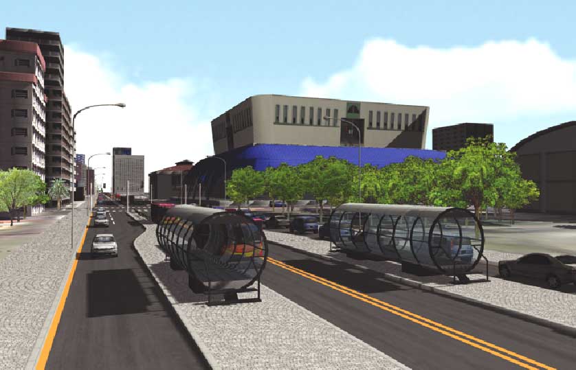
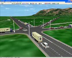
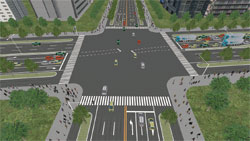
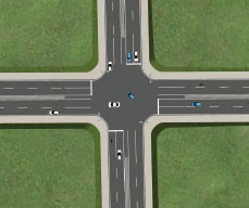
Traffic |
Traffic flow and vehicle profiles can be altered in traffic simulation,
which also takes into consideration vertical slopes and the vehicle performance.
The traffic after the opening of a new bypass or a large attraction, such
as a shopping mall, can be simulated, and linkage with traffic analysis
software enables UC-win/Road as a simple visual 3D traffic simulation. |
| |
12th 3DVR Simulation Contest Grand Prix
"VR Simulation for Traffic Regulation to
Divert Traffic During Night Construction"
Iwasaki CO., LTD.
|
|
●S-PARAMICS Plug-in
| It's possible to review the scenery, road design, traffic easily by VR of UC-win/Road and to confirm road conditions through the eye-sight of driver by driving simulation. |
 |
 |
|
●Micro Simulation Player Plug-in
| Micro Simulation Player is the function to run various types of simulation animation which is depicted as 3D model movement. It is capable to record and play a traffic flow as a result of UC-win/Road and other traffic simulation. |
 |
|
●TRACKS Plug-in
Land use, Traffic modeling system
| Plagin which performs presentation by combining traffic analysis result of "TRACKS" of Gabites Porter, traffic model data and UC-win/Road. |
 |
 |
|
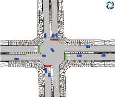
●OSCADY PRO Plug-in
Traffic light designing software
Oscady Pro allows automatic setting of signal phase and arrangement, and
optimized signal capacity and congestion, and gradal and swift optimization
of traffic signal |

 |
|
●SIDRA Plug-in
VR model automatic creation support tool
| It's the plugin to VR express intersection design software and intersection designed SIDRA in VR. |
 |
 |
|
●VISSIM Plug-in
It's possible to read the result of traffic flow analysis of VISSIM and
to simulate it. |
 |
 |
|
●Aimsun Plug-in
Vehicle behavior and signal phase from Aimsun can be reproduced real-time
within the UC- win/Road 3D environment. |
 |
 |
|
|
|
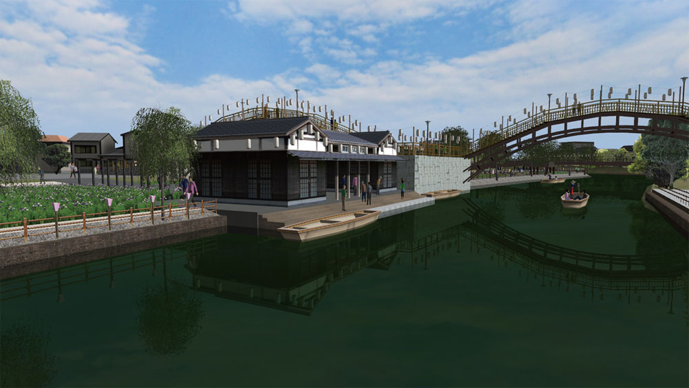
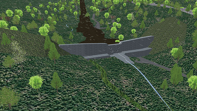
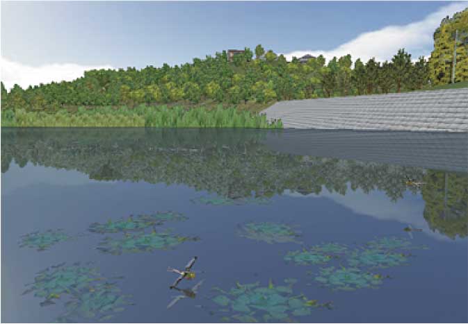
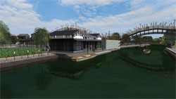
River |
In river improvement projects, river flow can be defined by river command patching textures. |
| |
The 13th 3D-VR Simulation Contest Excellence Award
"Simulation for environmental upgrading around Higashi Takase river"
By Fushimi Technical High School in Kyoto |
 |
 |
|
|
Page Top |
 |
| |
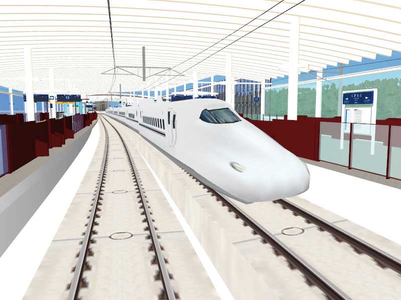
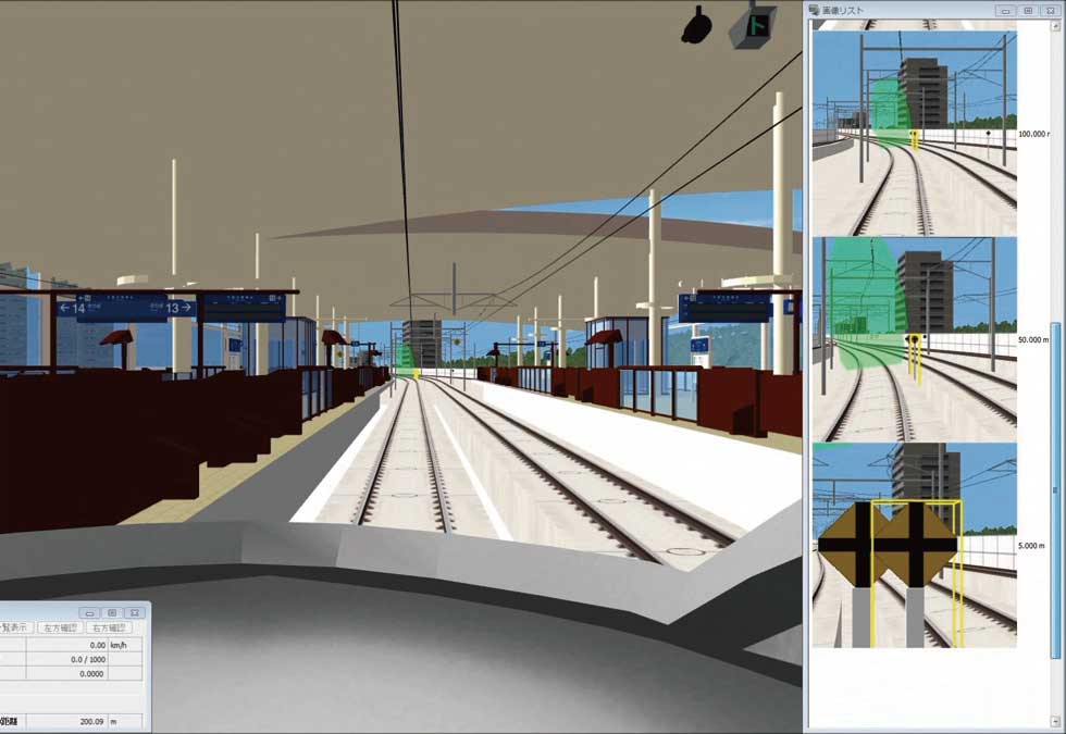
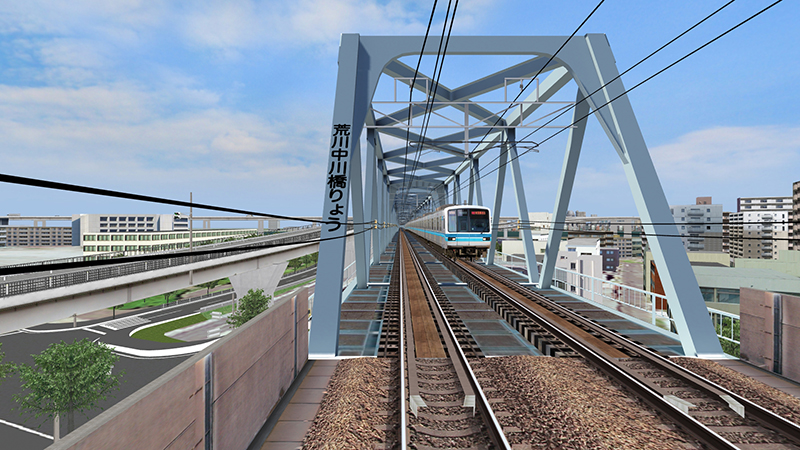
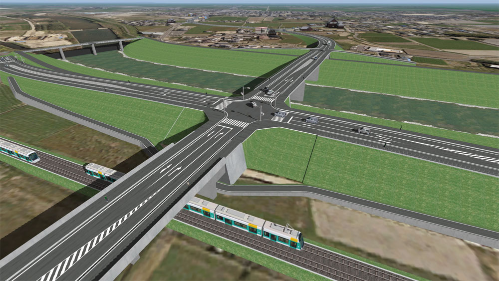
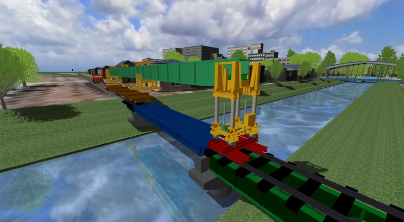
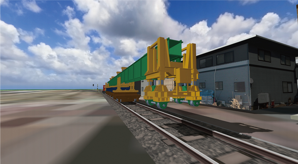
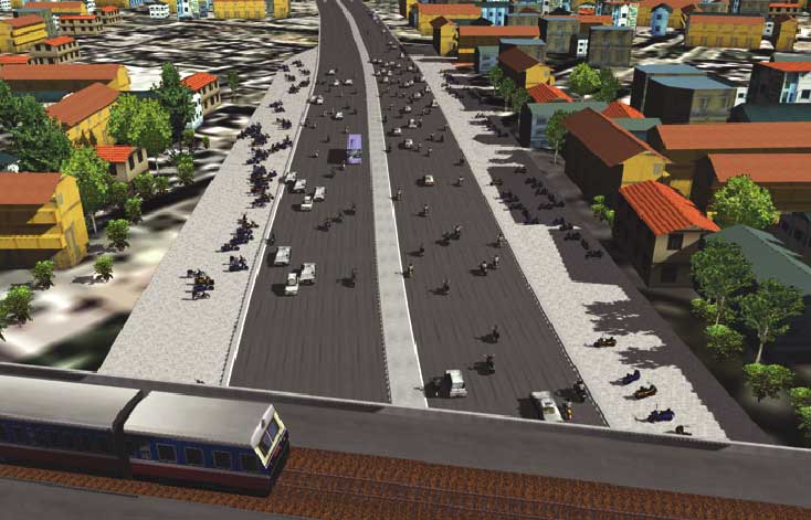
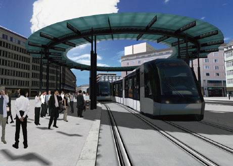
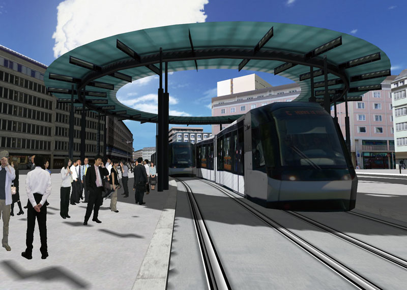
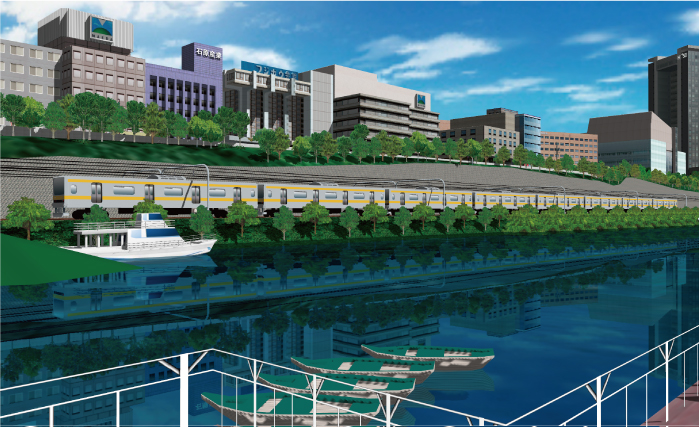
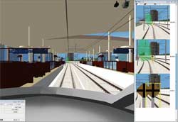
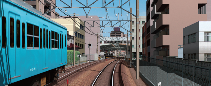
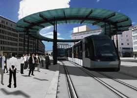
Railroad |
New transportation system such as railway, can be available as well as road simulation.
It is easy to make plans of crossing with an overpass or underpass with 3DVR and redevelopment projects in station square and pedestrian deck plans are available.
A variety of system constructions including railway simulators for R&D,
education and training, and publicity work are also provided. |
10th 3D-VR Simulation Contest Grand Prix
"System for checking the position where equipments are installed"
By Japan Railway Construction, Transport and Technology Agency |
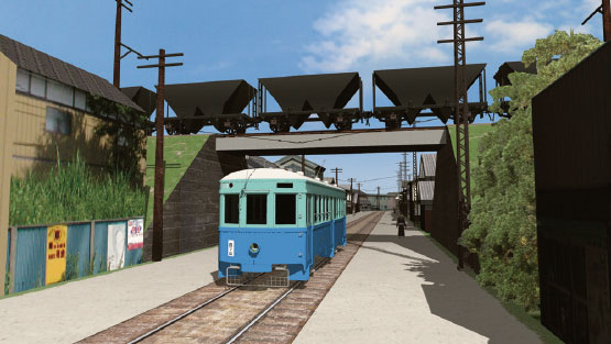
11th 3D-VR Simulation Contest Idea Award
"Restoring the Oomuta street car in 1952 and the town along its railroad" By Keisuke Ijiri |
 |
 |
 |
13th 3D VR Simulation Contest Nomination Award
"Tokyo Metro Simulator" By Tokyo Metro Co., Ltd. |
Railway simulation |
 |
 |
|
| |
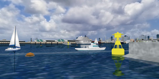
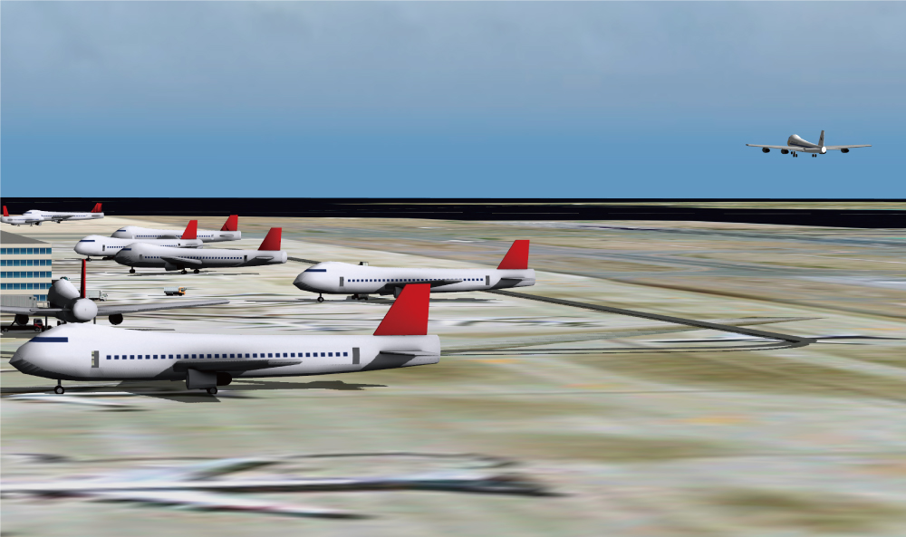
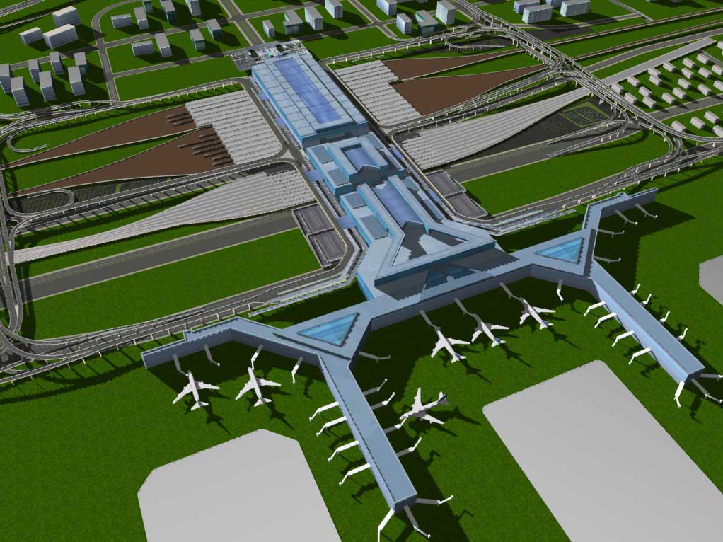
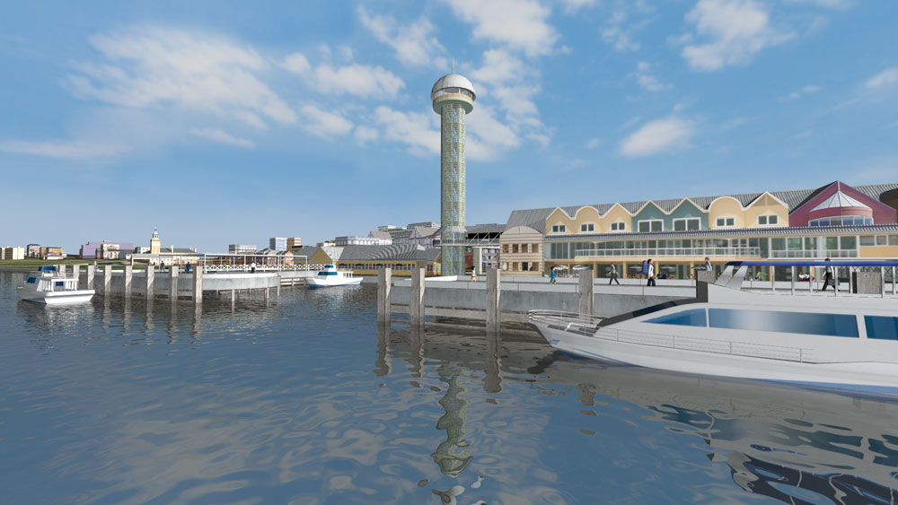
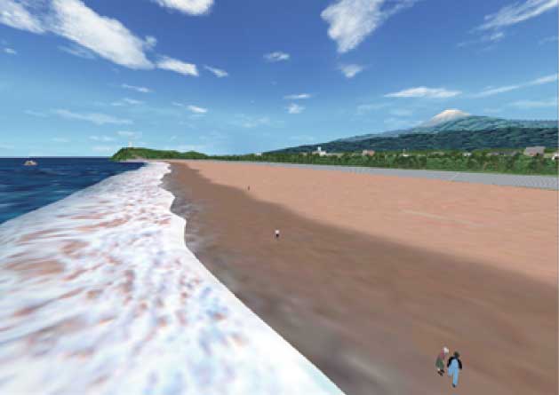
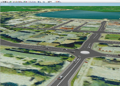
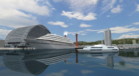
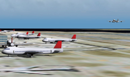
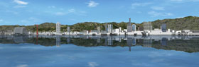
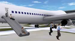
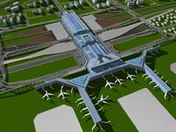
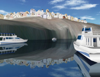
Harbor/Airport |
For models of harbors and airports, simulation of a vast area is available with aerial pictures. Sea routes of vessels can be defined through path configuration, allowing visual expression of diverse vessels sailing. Also, by defining airplanes as flight models, take-offs and landings can be visualized. With the seacoast and undersea models, there are reflection expressions and diverse 3-D models available. |
| Sample model of Yokohama port |
Sample model of Kobe port |
 |
 |
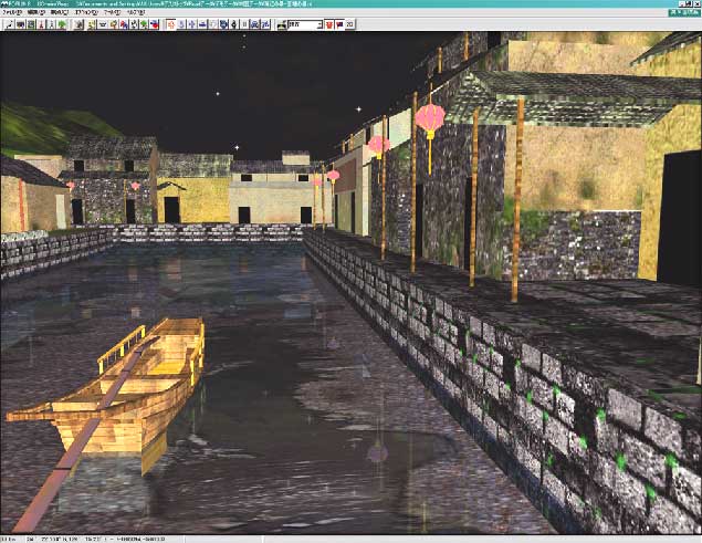
| Take-off and landing of airplanes can be defined by flight paths |
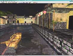
Examples of modelized riverside districts and water channels (Nishitou,
China) |
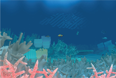
Undersea image models
Coral reefs = 3-D trees .Fish = MD3 characters |
 |
 |
 |
|
|
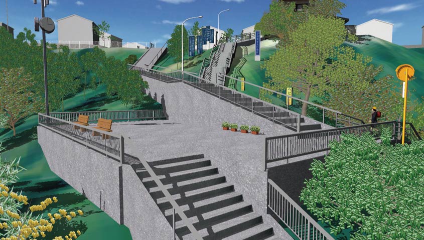
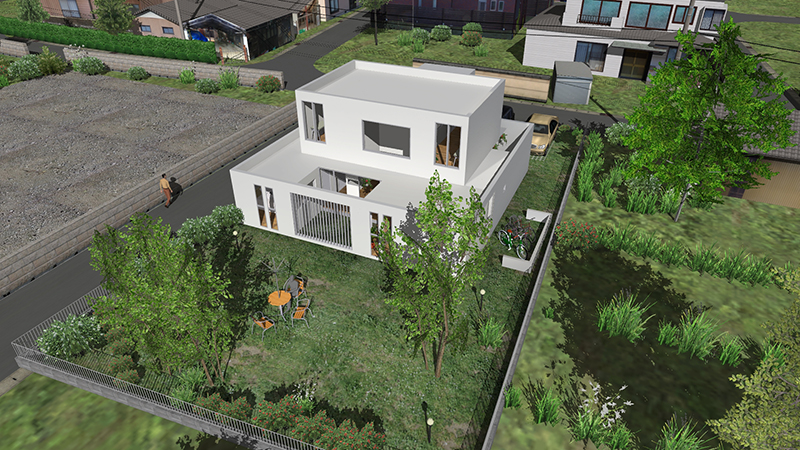
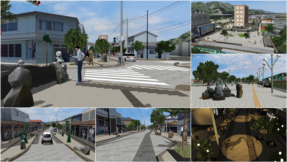
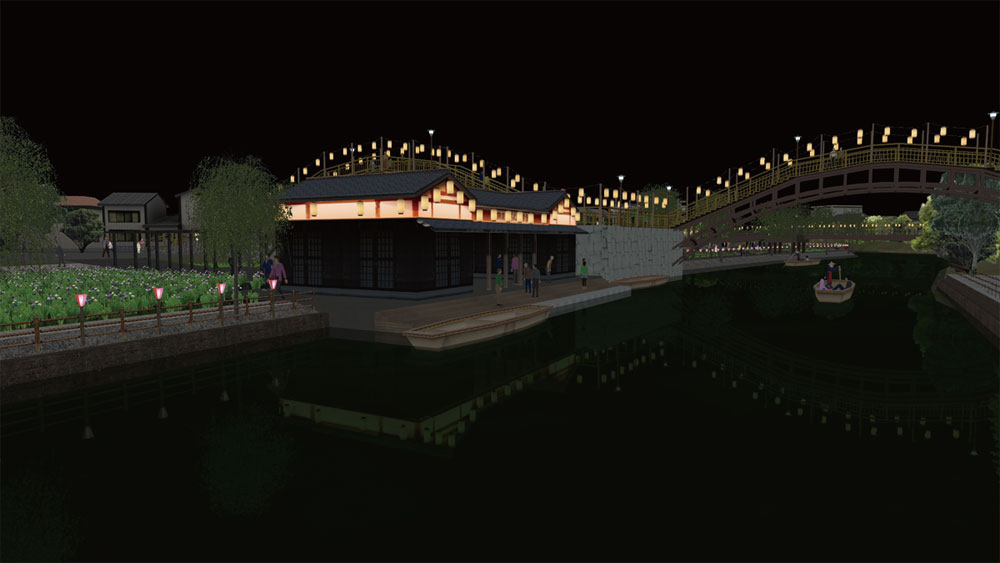
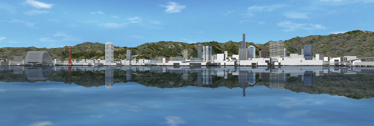
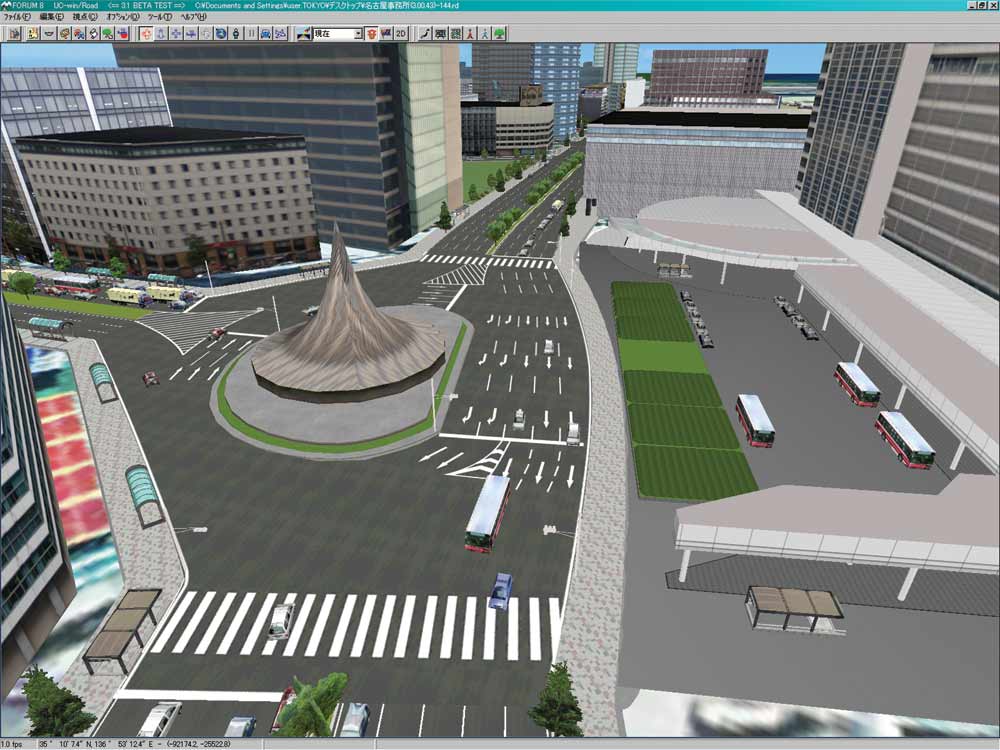
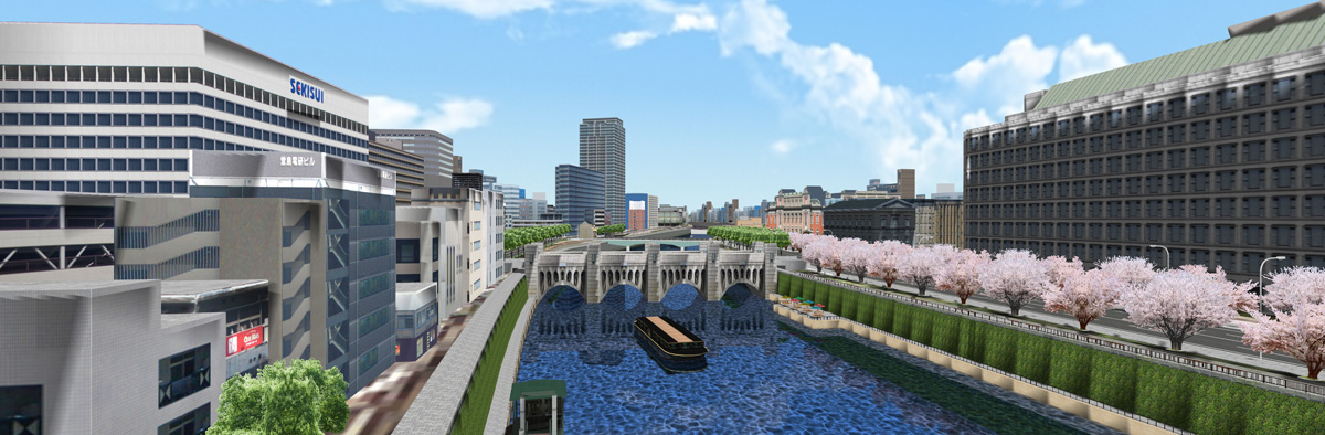
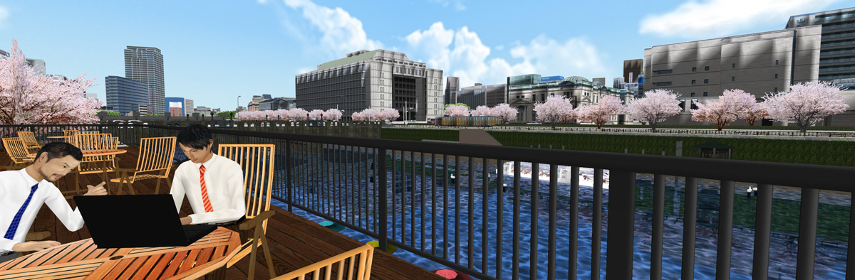
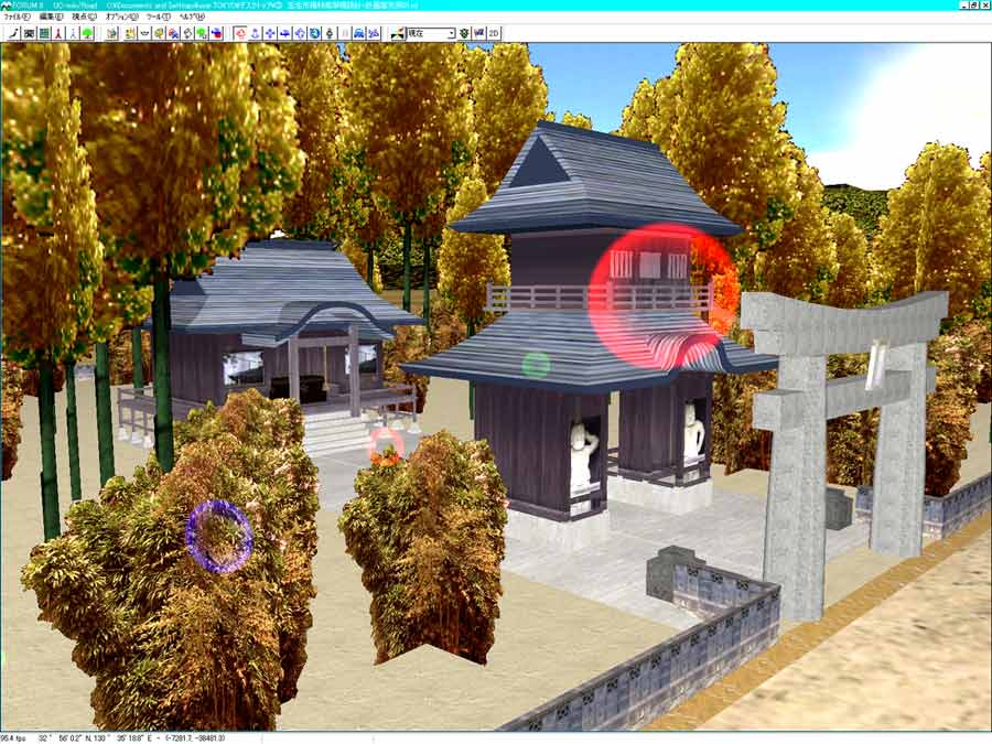
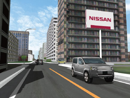
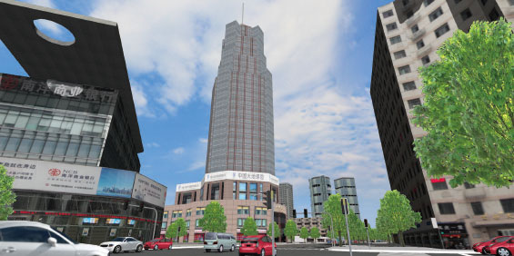
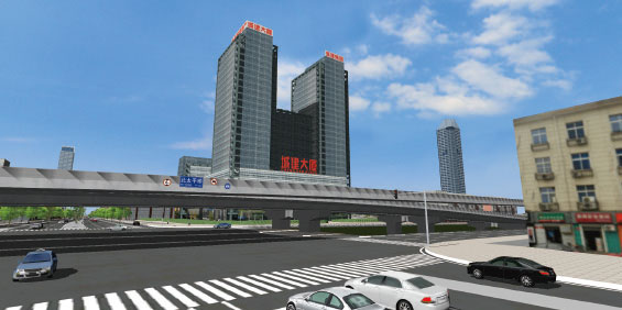
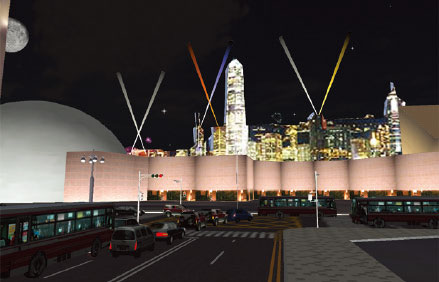
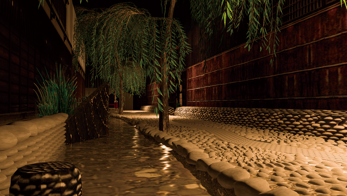
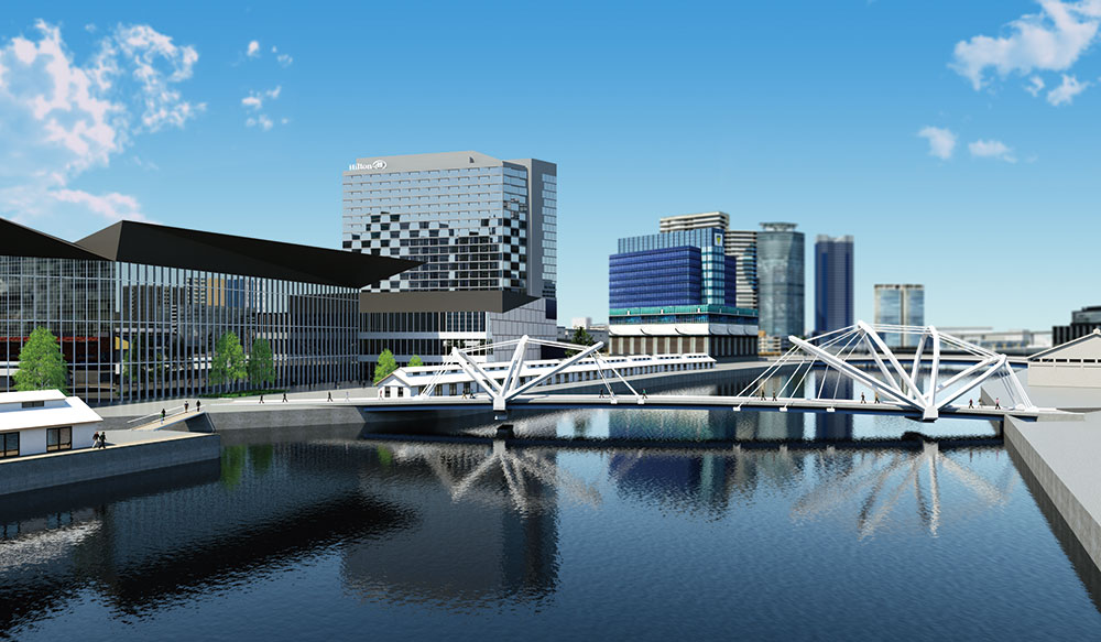
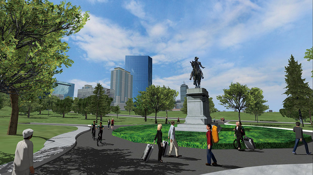
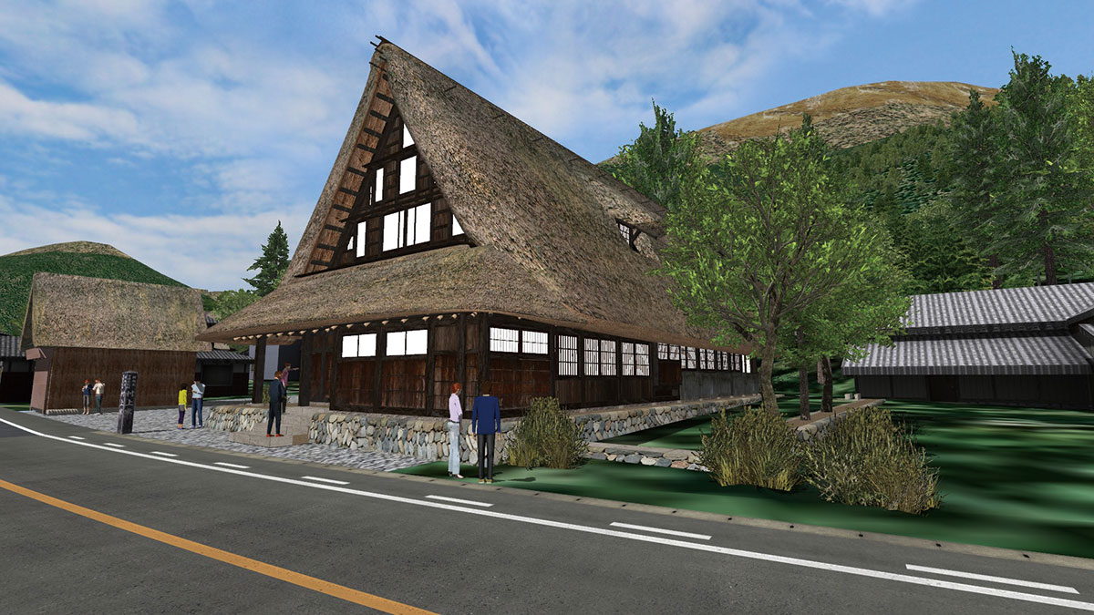
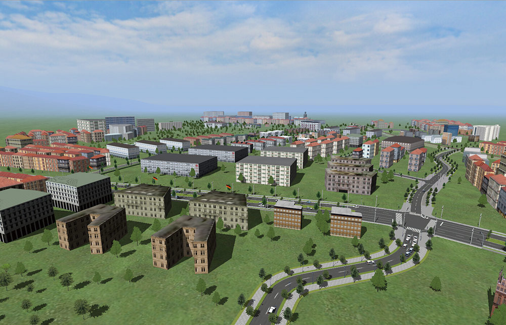
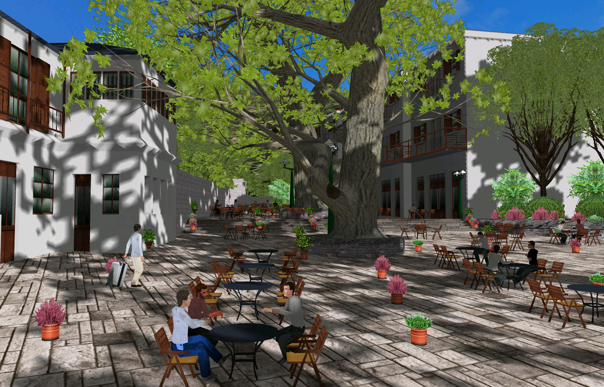
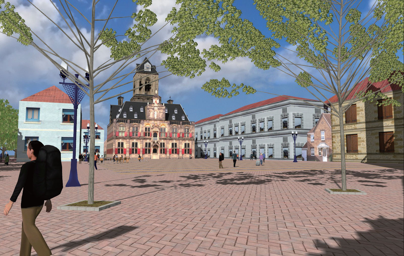
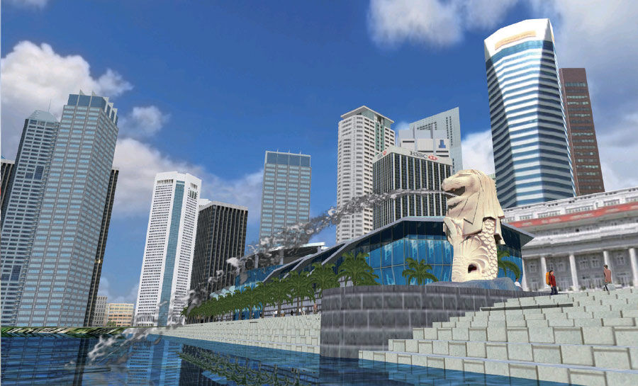
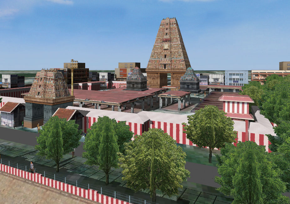
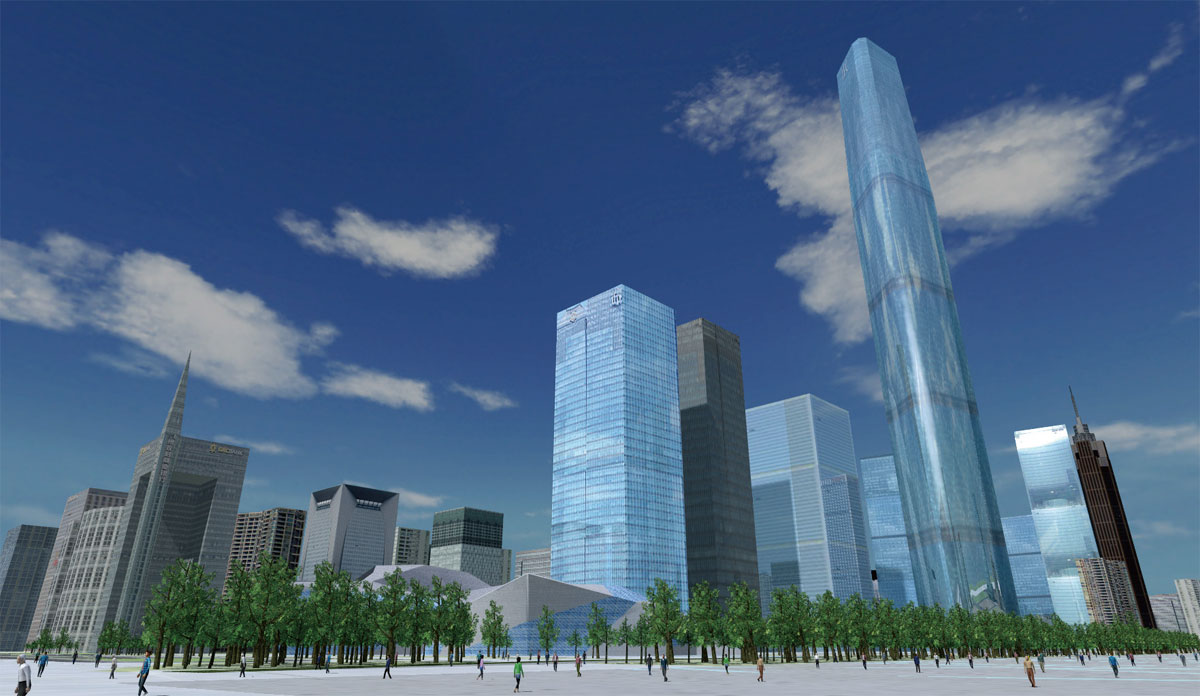
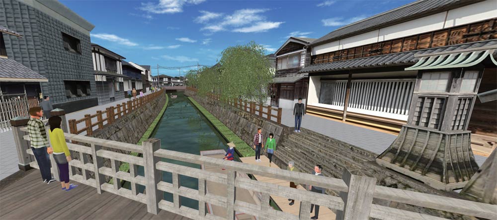
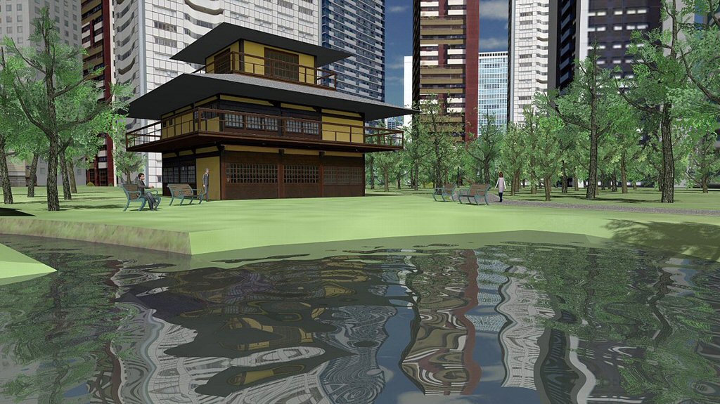
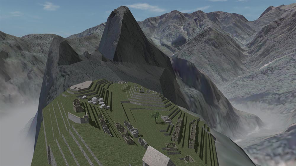
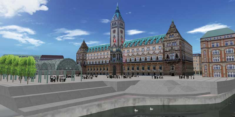
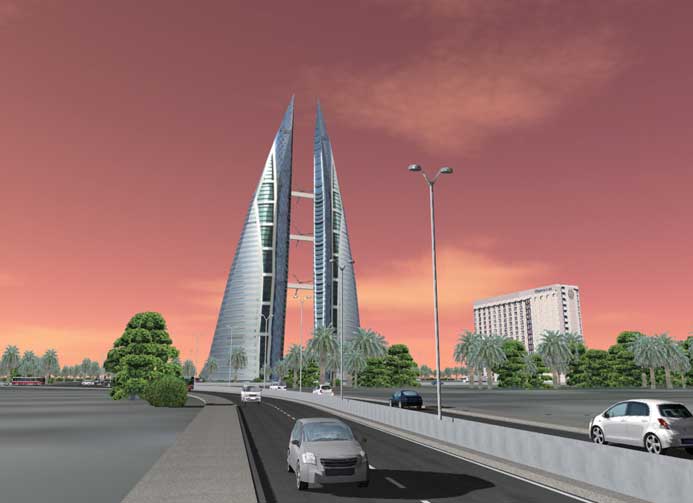
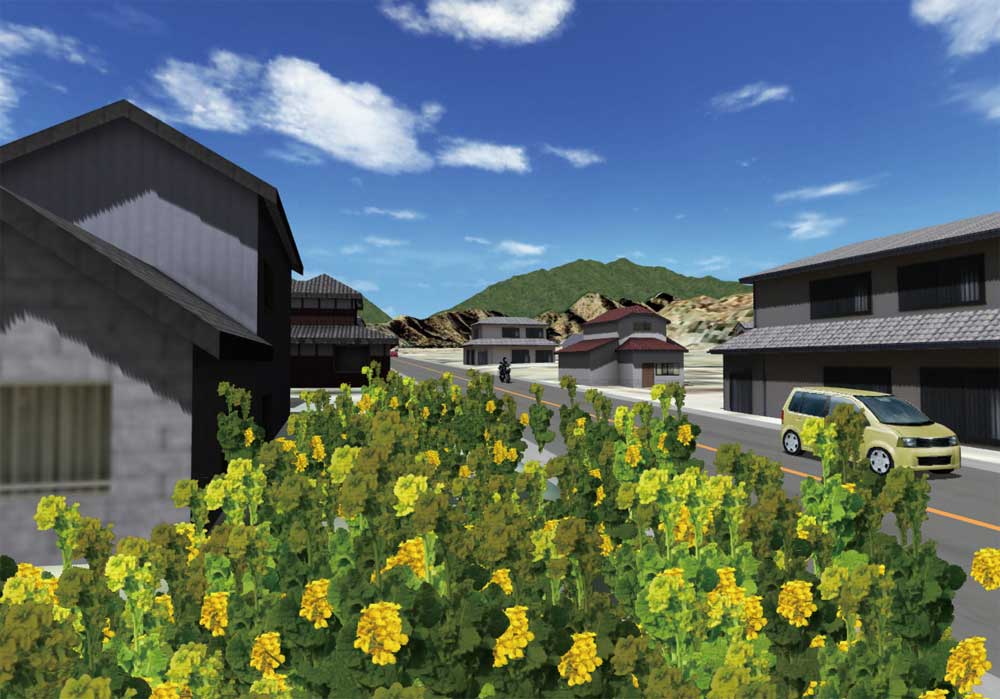
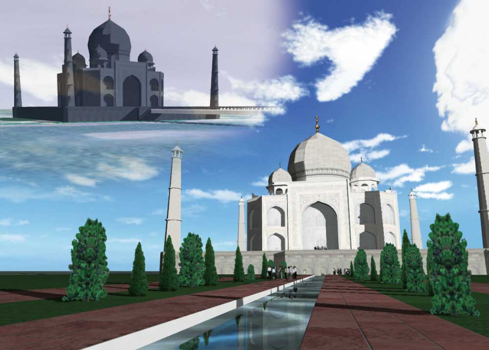
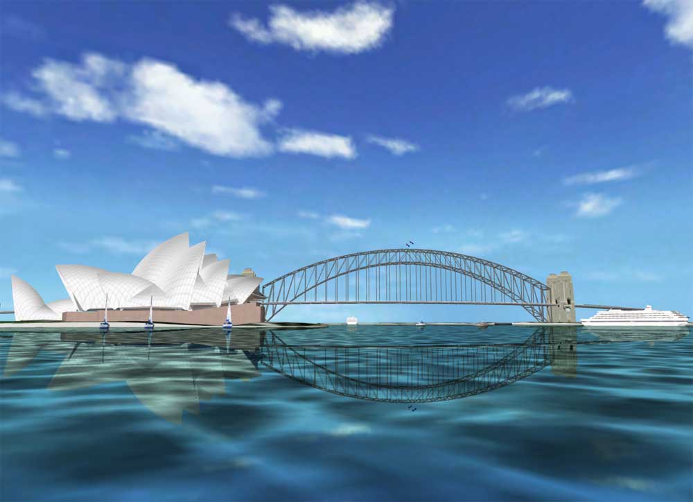
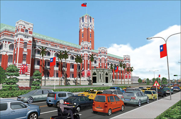
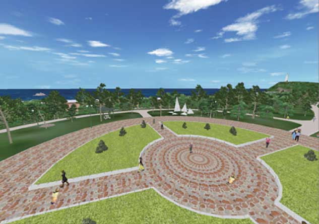
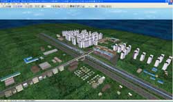
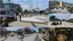
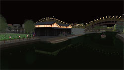
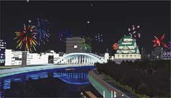
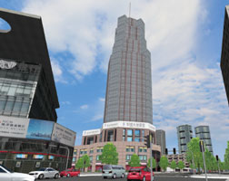
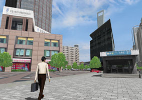
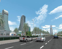
Parks/Towns |
The image can be visualized by walking through the whole image or switching
through plans so that scenery plan consideration is possible. A wide range
of tree textures and 3-D trees are useful for planting evaluation in designing
parks and housing development areas, or effects on traffic and human flow
caused by the plan. |
|
| |
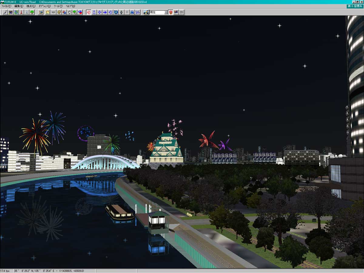
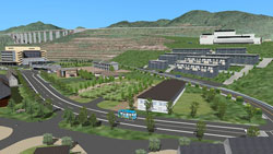
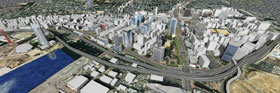
| Urban planning |
For designing cities and streets, tree planting evaluation and tree type
selection are available, offering simulations in the four seasons in 5
or 10 years from now. For improvement of streets and redevelopment of train
station neighborhoods, 3-D traffic streams and dynamic urban area representations
with 3-D human models are useful. With the artificial light feature, which
switches through daytime and nighttime, the landscape can be evaluated
at day and night. |
15th 3D-VR Simulation Contest
Grand Prix
"Mizuki Shigeru Road in Sakaiminato City"
Sakaiminato City
|
14th 3D-VR Simulation Contest
Excellence Award
"Dream Zone - Creating the Town You
Want to Return! - Awaji City Yumebutai
Sustainable Park, Compact City Project"
Awaji City Hall, Hyogo Prefecture
|
 |
 |
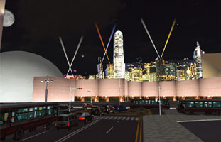
| Landscape assessment of day and night |
 |
 |
9th 3D-VR Simulation Contest Design Award
"VR utilization for consensus-building toward landscape formation
of design city, Kobe"
By Directorate general for Kobe city planning |
 |
 |
|
| |
Page Top |
 |
|
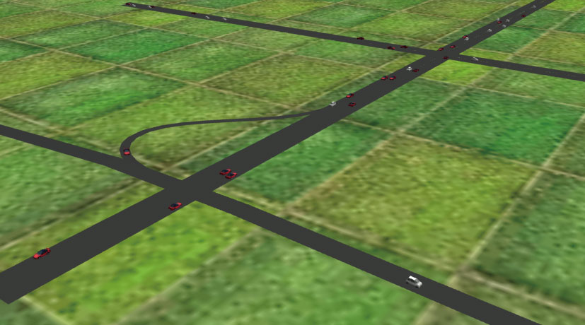
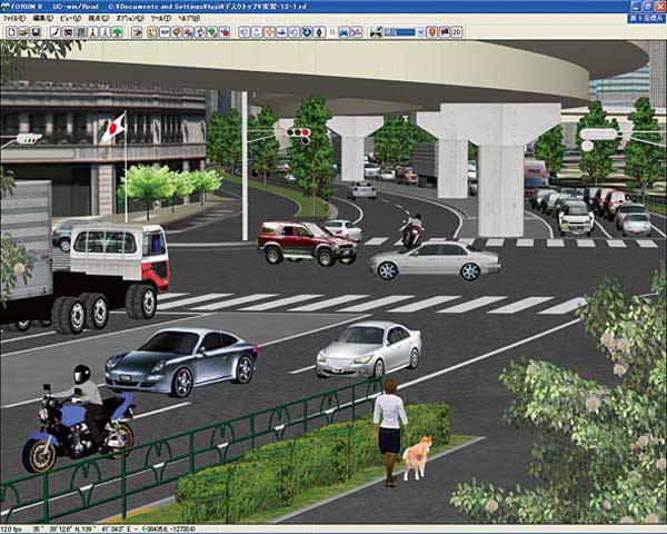
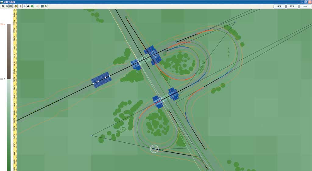
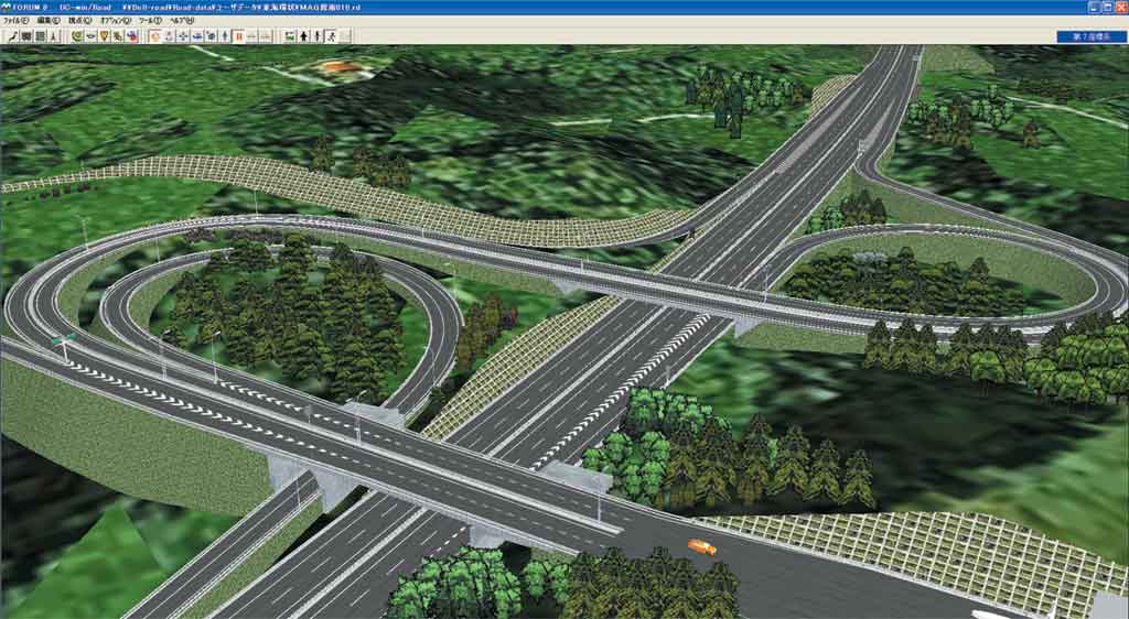
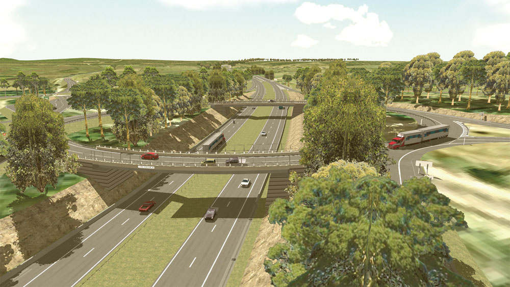
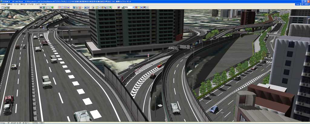
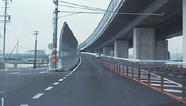
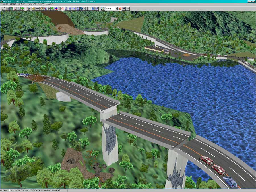
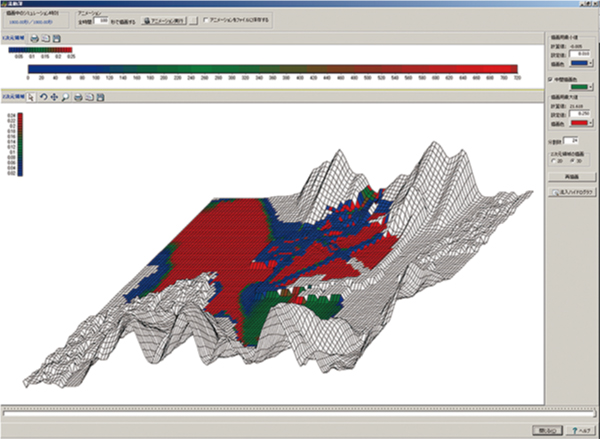
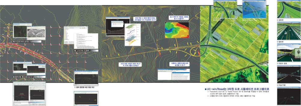
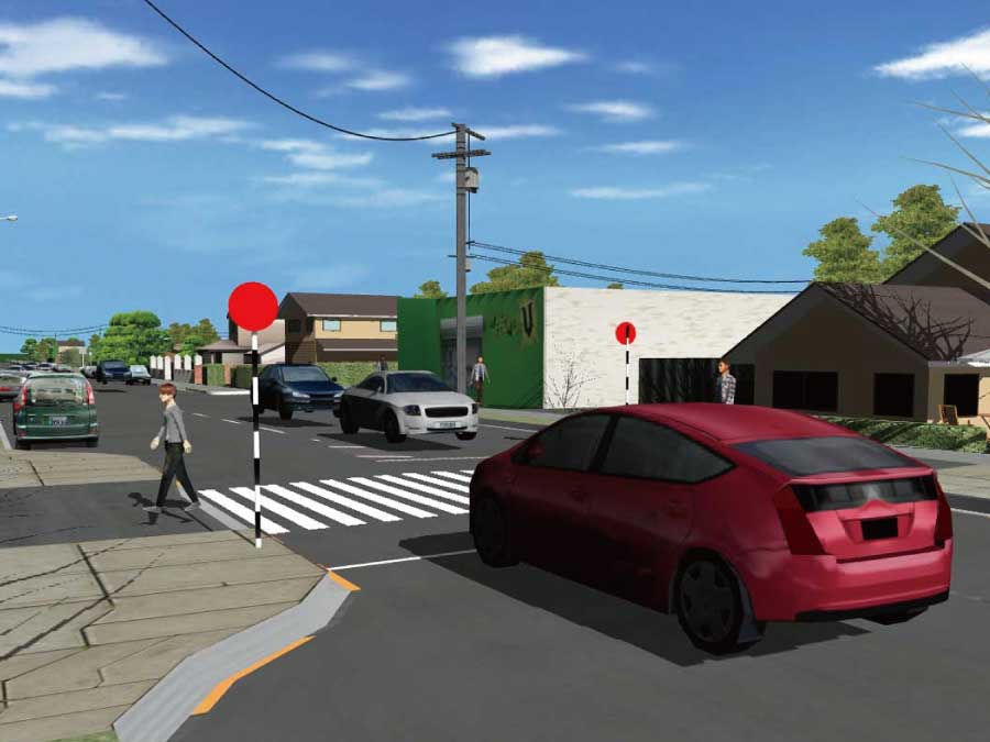
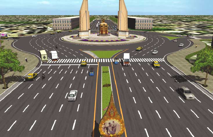
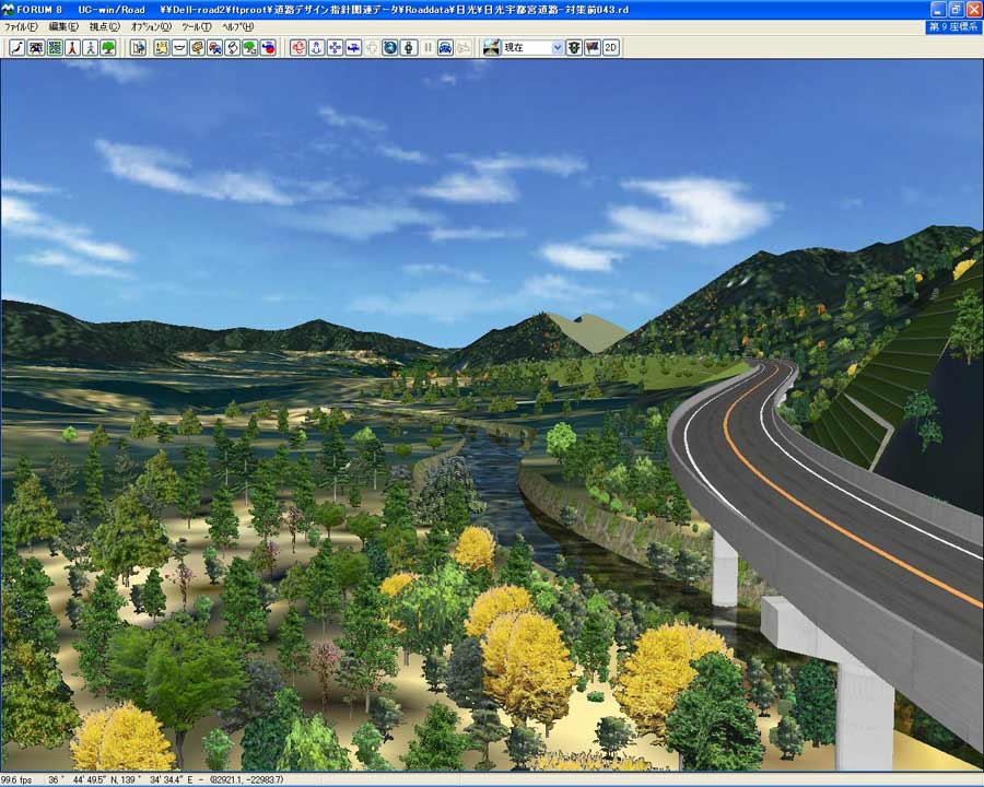
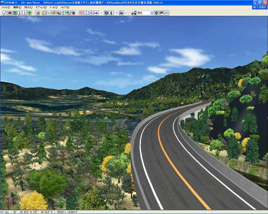
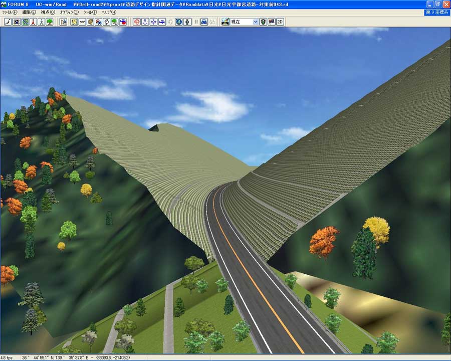
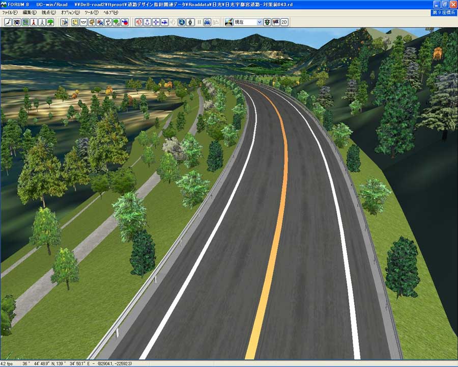
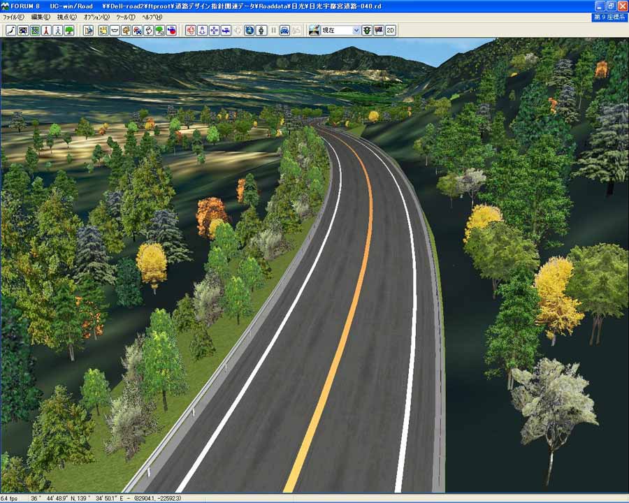
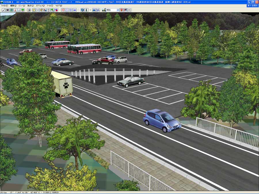
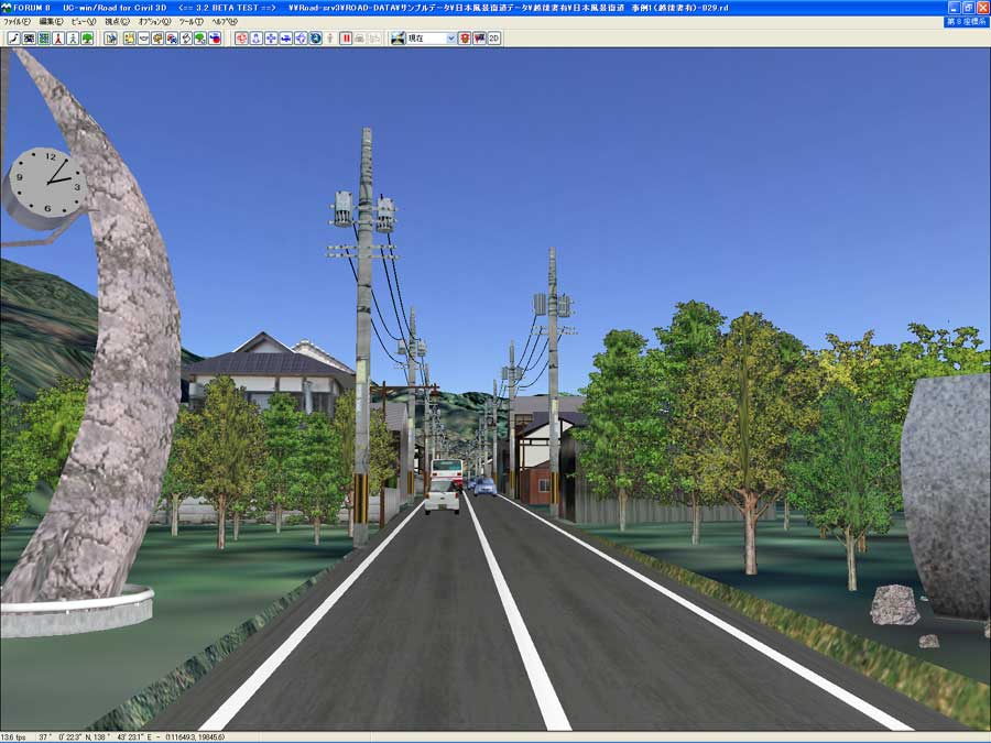
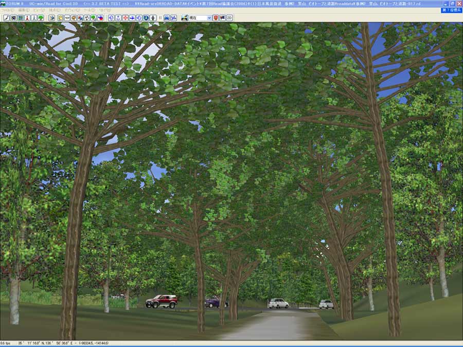
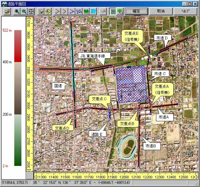
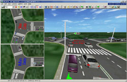
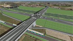
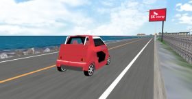
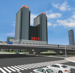
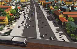
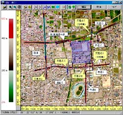
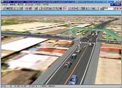
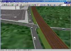
Road Simulation |
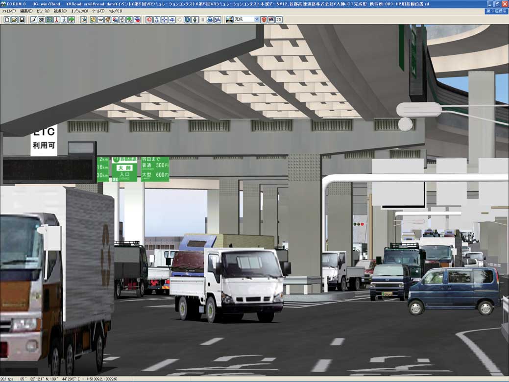
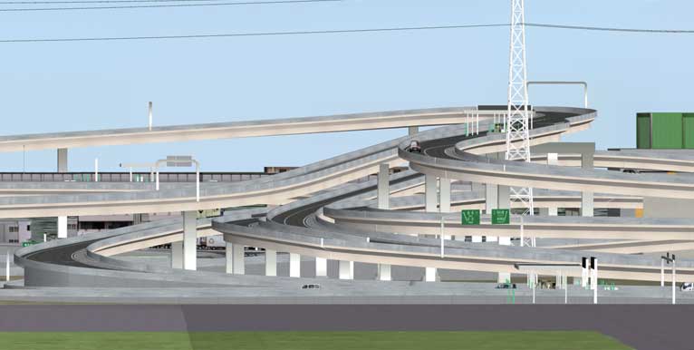
For evaluation of slope works such as cutting and banking of the terrain, and small ramps, simulations of internal/external landscapes depending on the traveling speed are available. With plentiful road options, horizontal crossings as well as overhead crossings, tunnels, and bridges can be generated easily, offering visual definition of complicated crossing shapes, textures, running routes, and traffic control. The On/Off ramp definition feature allows quick creation of intricate interchanges. Profiles can be set by hourly traffic volume and by car type for traffic jam simulations and traffic volume comparison simulations in planning bypass routes. |
|
|
|
|
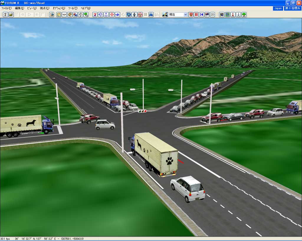
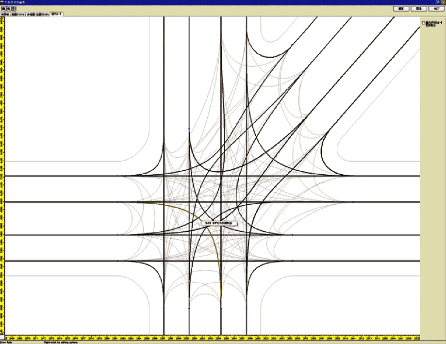
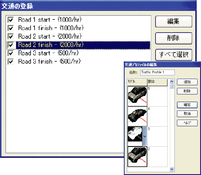
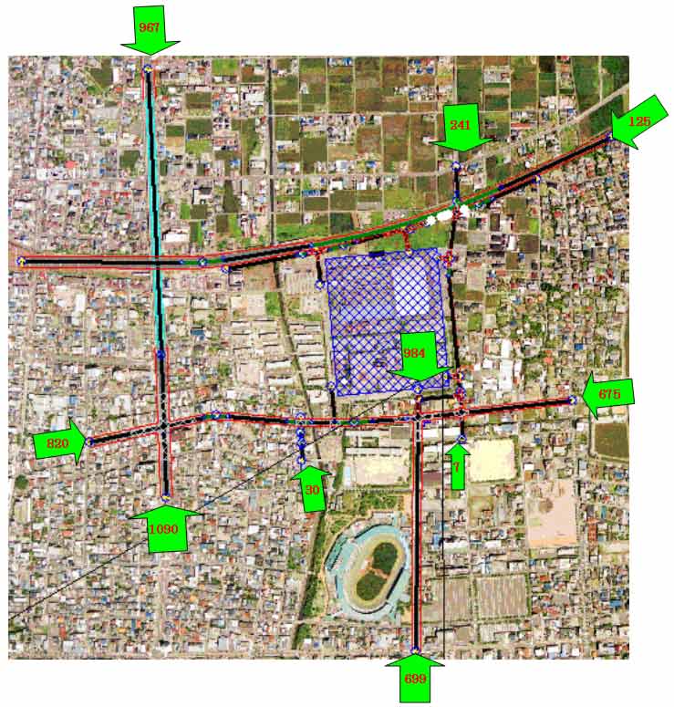
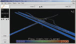
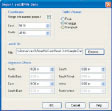
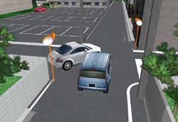
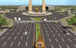
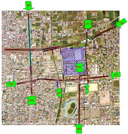
Traffic Generators / Flow
Traffic generation through rate setting by car type and hourly traffic
volume setting and traffic stream simulation that allows car collision
control.
From upper left, traffic route, hourly traffic volume by route, and configuration screen for car rate by type.
UC-win/Road applications
The 14th 3D VR Simulation Contest
Nomination Award
"Design of the cloverleaf interchange"
Qingdao Municipal Engineering Design Institute, China |
|
11th 3DVR Simulation Contest
Honorable judge Award
Community Development Prize
"Aiming for alleviation of traffic jams in the original route
especially near railroad crossings and narrow bridges"
By Nishitetsu C.E. Consultant Co., Ltd
|
 |
|
 |
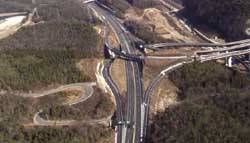
10th 3DVR Simulation Contest Design Award
3DVR modeling of the Hunter Expressway
By Roads and Traffic Authority of NSW (RTA), Australia
9th 3D-VR Simulation Contest Grand Prix
"Proposal of underground installation of Hanshin expressway and improved
city using VR"
By Faculty of Informatics, Kansai University
8th 3D-VR Simulation Contest Grand Prix
"VR Data for Ohashi Junction of Metropolitan Expressway"
By Metropolitan Expressway Company Limited
6th 3D-VR Simulation Contest Grand Prix "Ishikawa-cho Junction Simulation"
By Metropolitan highway company, Kanagawa bureau
The 5th 3D/VR Simulation Contest Grand Prix
"Construction Simulation of Daishi Junction and Daishi Ventilation Station"
By Kanagawa Construction Bureau, Metropolitan Expressway Company Limited
  |
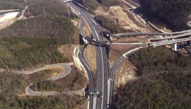
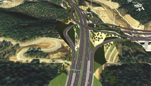
Comparison of VR Model with aerial
photograph of the Tokai Circular
 |
 |
|
Comparison of VR Model with actual
photograph of the Hokusei Bypass
 |
 |
|
|
Page Top |
|

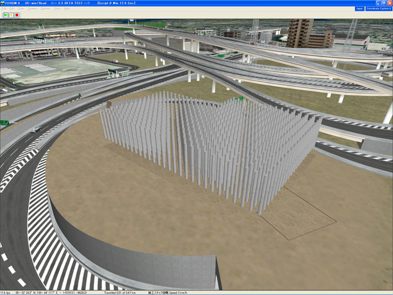
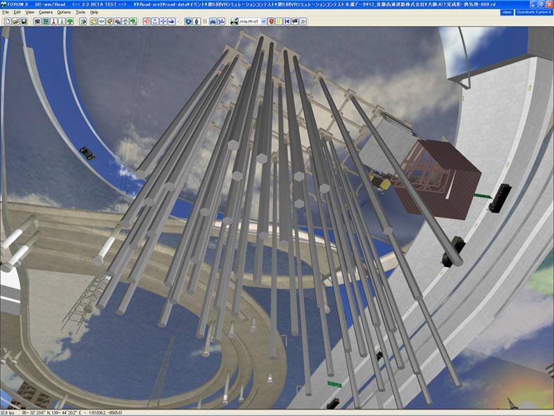
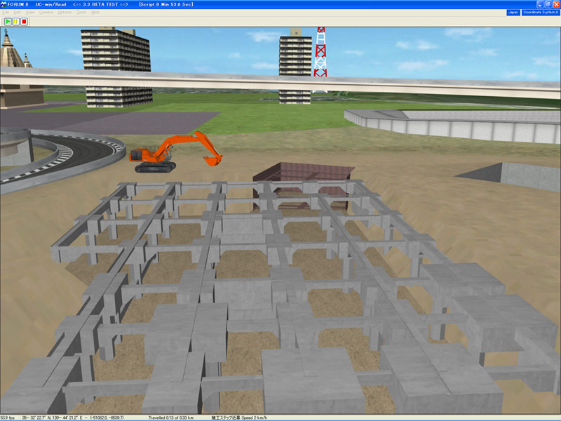
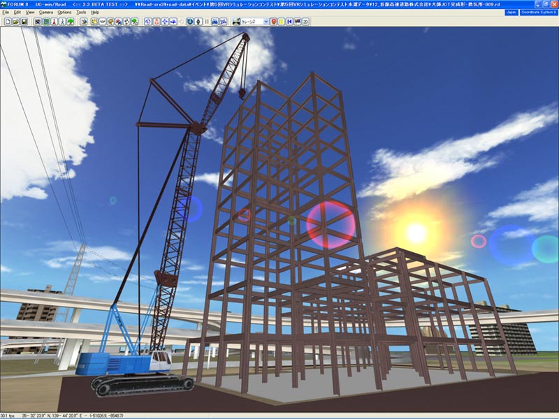
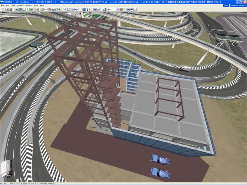
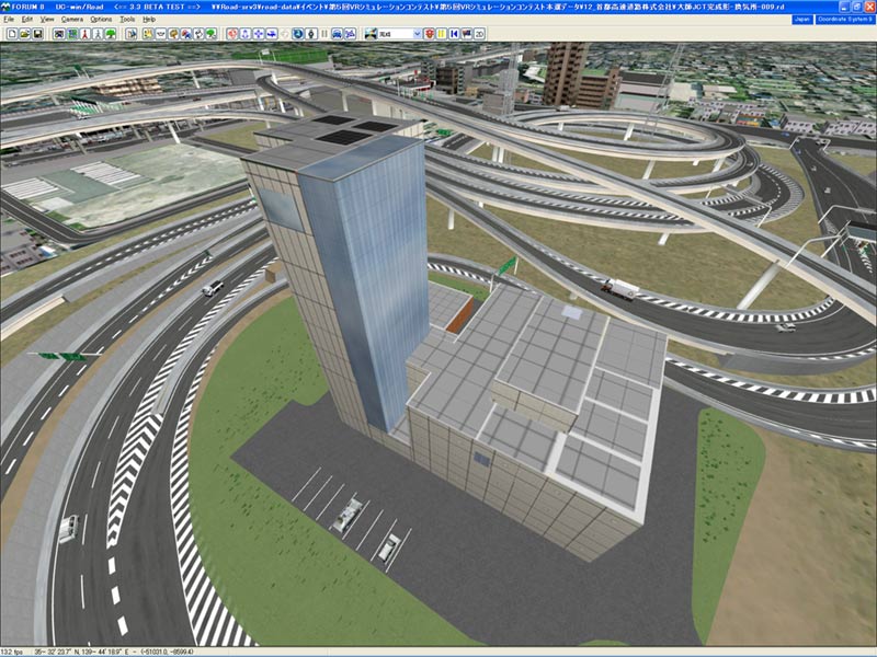
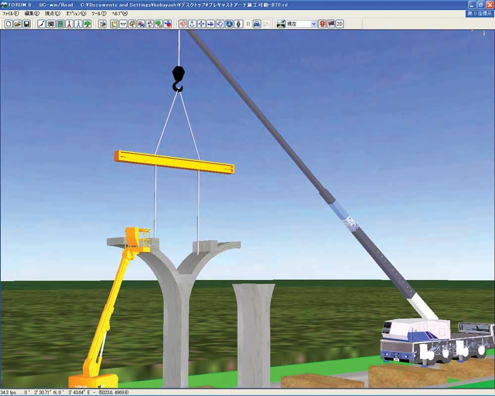
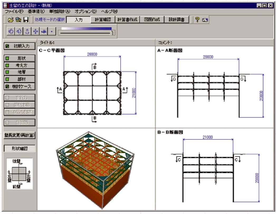
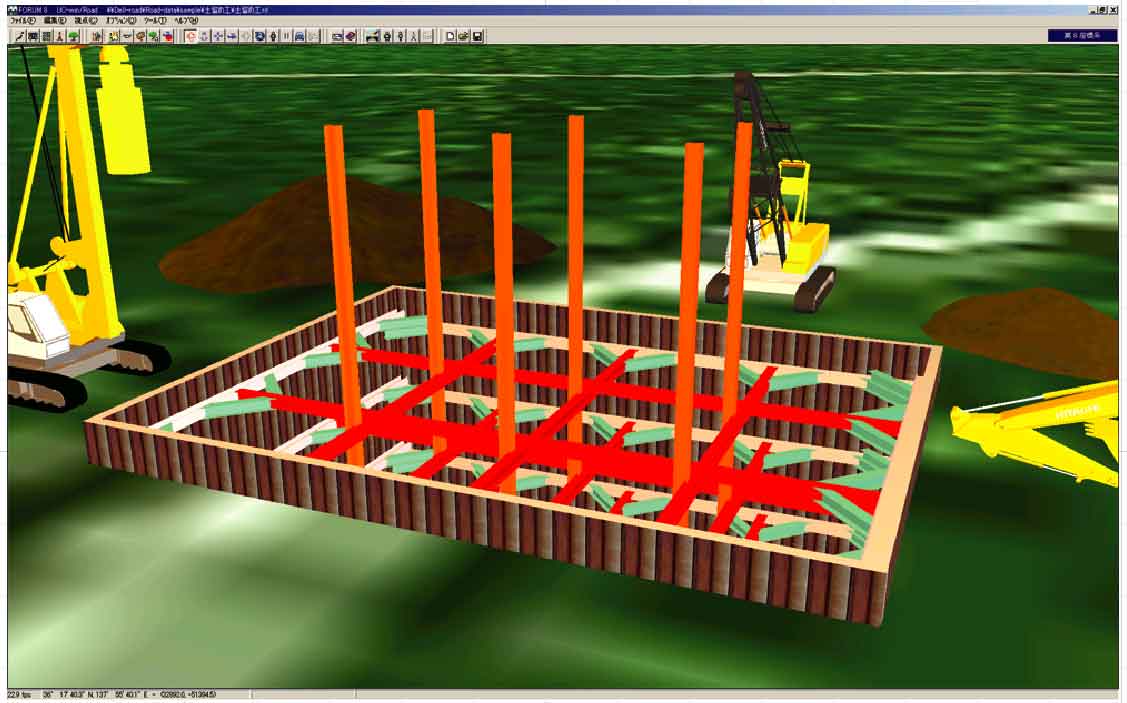
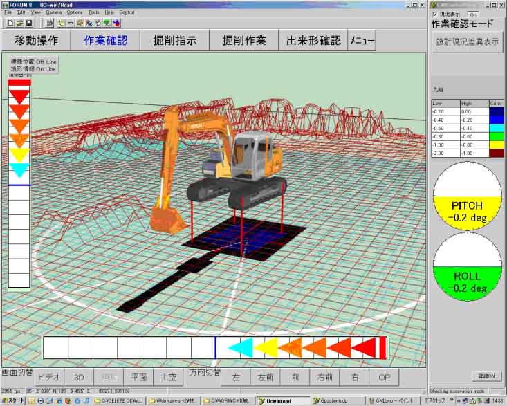
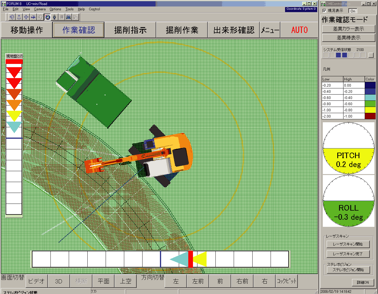
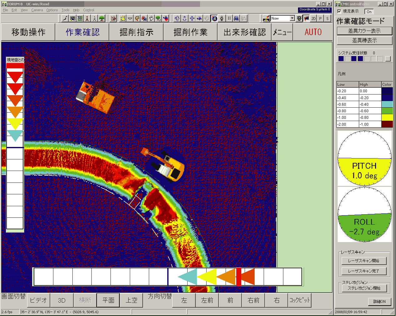
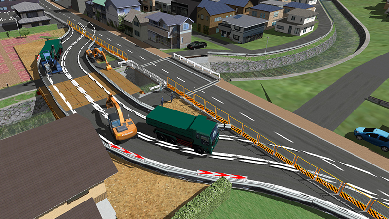
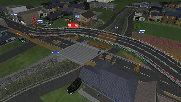
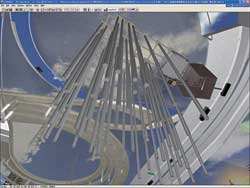
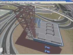
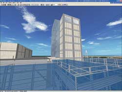
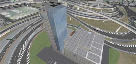
Construction Simulation |
UC-win/Road can be applied to 3D construction simulation of land formation,
erection and temporary construction plan, landscape examination of underground
electric wire installation and pedestrian overpass removing, construction
simulation, movable model and construction method utilizing Way Point function.3D
model of heavy machinery can be available as the data which behavior has
been defined such as movable scope. UC-1 series temporary works and ground
3D model are also available. |
|
|
 |
| Before |
Earth retaining/
ground improvement |
|
 |
Pile compaction |
|
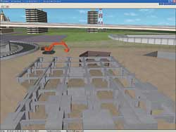
Excavation/ foundation/
backfill |
|
| |
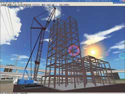
Reinforcing steel erection |
|
Erection by staging/
Concrete placement/
PC erection |
|
Exterior wall finishing/
curtain wall erection |
|
| |
 |
| After |
Dismantling scaffolding/
roof waterproof/ exterior/ completing |
|
Construction step
Data provided: Kanagawa Construction Bureau, Metropolitan Expressway Company
Limited
- Earth retaining/ ground improvement: drive a sheet pile, a ground improvement pile.
- Pile compaction: driving a PHC pile, a SC pile with pile driver.
- Excavation/ foundation/ backfill: excavation with backhoe and foundation compaction
- Reinforcing steel erection: reinforcing steel erection with 100t crawler crane
- Erection by staging/ Concrete placement/ PC erection: SRC skeleton completed
- Exterior wall finishing/ curtain wall erection: face finishing work
- Dismantling scaffolding/ roof waterproof/ exterior/ completing: finish dismantling scaffolding
|
|
|
|
UC-win/Road applications
|
|
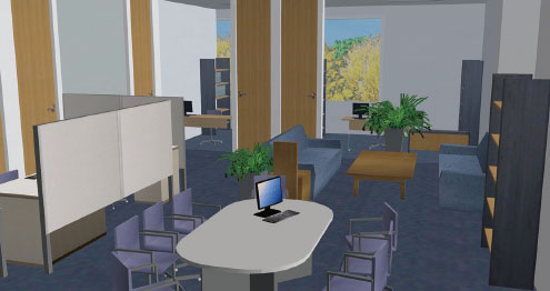
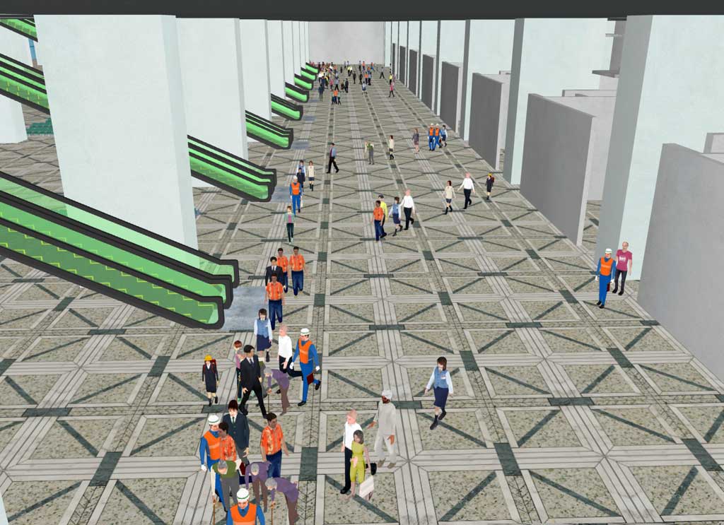
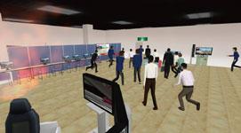
Display Simulation |
Arrangement and space plan in the exhibition booth or showroom can be created
efficiently. Simulations for a variety of purposes are available: visibility
of signboards and panels, traffic line through the booth, evacuation in
the case of an earthquake or a fire, navigation to the site, and usage
on cloud.
 Click here and simulation movie can be seen! Click here and simulation movie can be seen! |
|
|
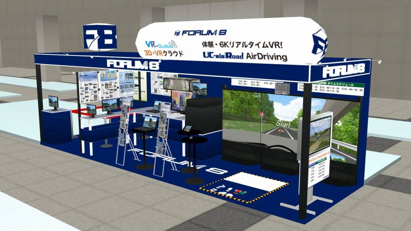
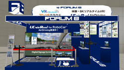
■The 20th 3D & Virtual Reality Expo (IVR)
(June 20-22, 2016 Tokyo Big Sight) |
■The 3rd ROBOTECH
(July 11-13, 2016 Tokyo Big Sight) |
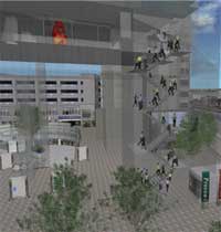
Evacuation simulation in an exhibition site |
 |
 |
 |
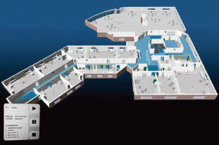
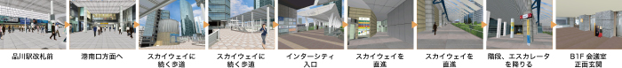
| FORUM8 Design Festival 2012-3Days Site Guide (September 20-21, 2012 Shinagawa Kokuyo Hall) |
 |
|
|
Page Top |
|
 |
| Proposal |
A variety of simulations provided by VR can be applied not only in urban
plans but in various fields such as disaster prevention and mitigation,
evacuation study, medical care, education, and tourism. |
|
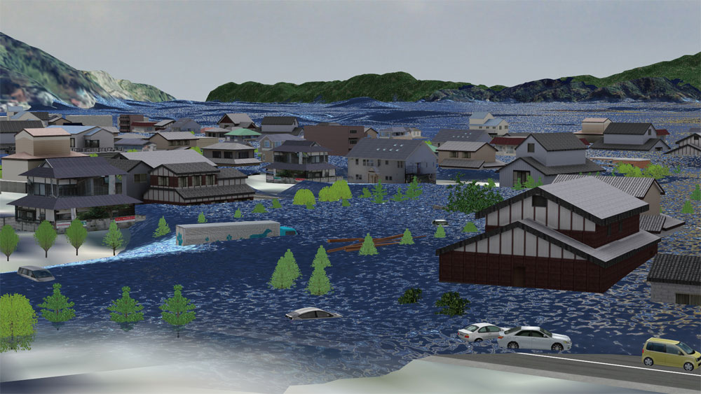
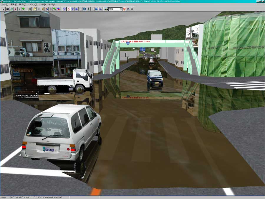
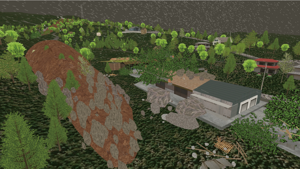
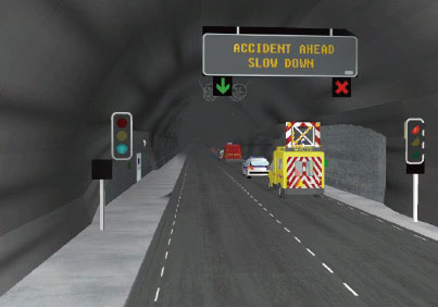
Disaster
Prevention
VR |
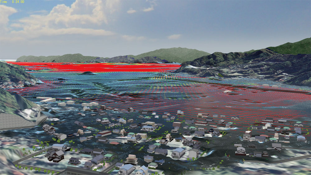
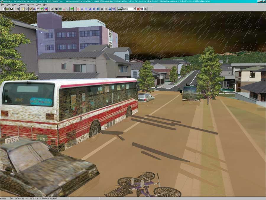
The 3-D disaster representation of presentation is possible for disaster
prevention such as “flood” simulation by water level alternation feature
and traffic simulation with road failures. |
| 3D tsunami simulation |
Flood, earthquake disaster simulation |
|
|
|
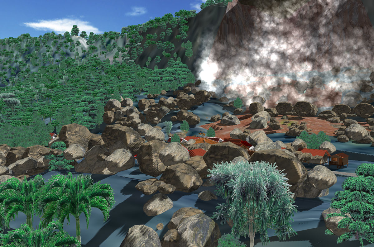
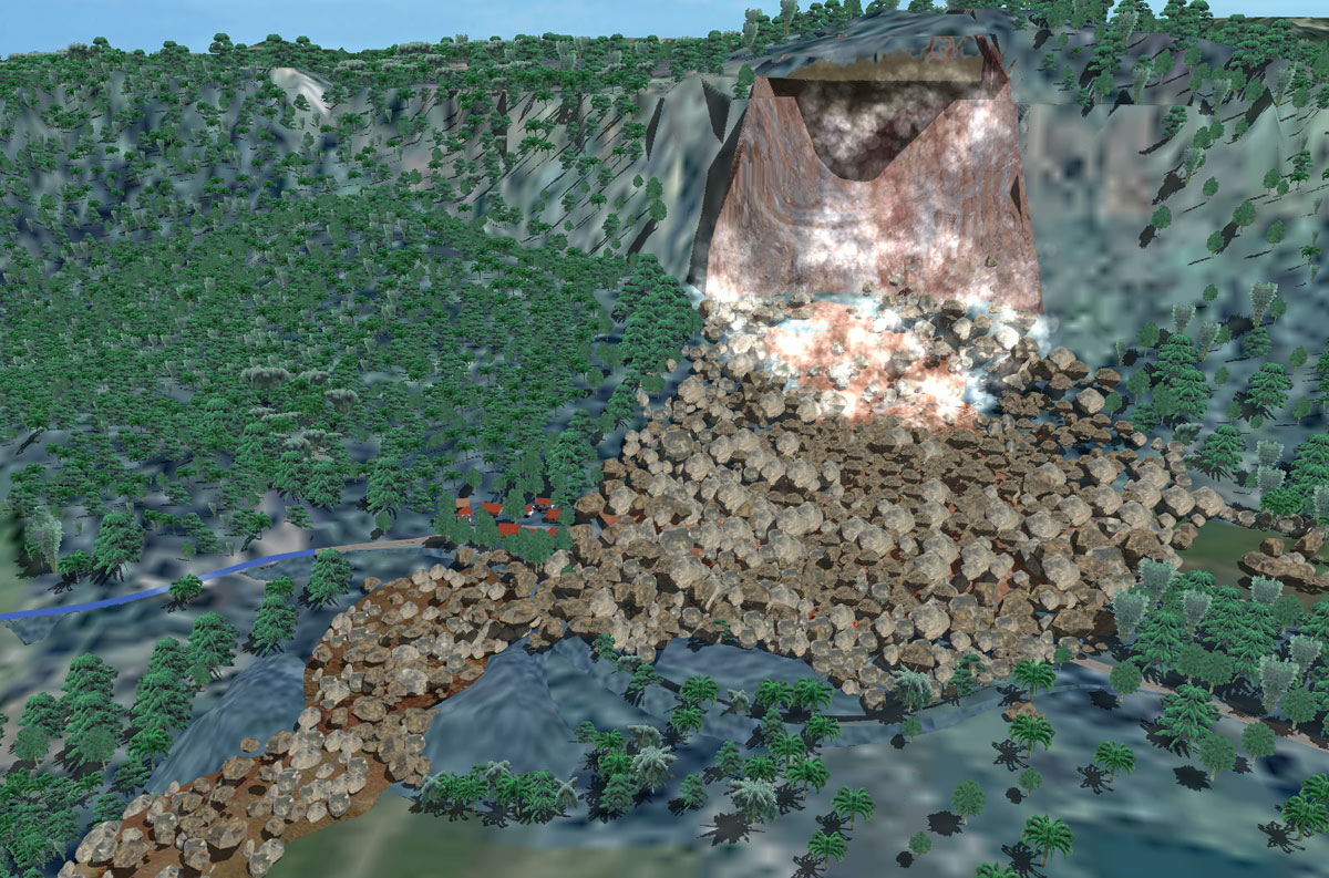
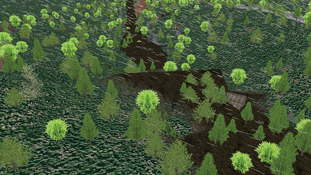
The 9th 3D VR Simulation Contest Idea Award
"Debris avalanche simulation"
Faculty of Engineering, Gunma University |
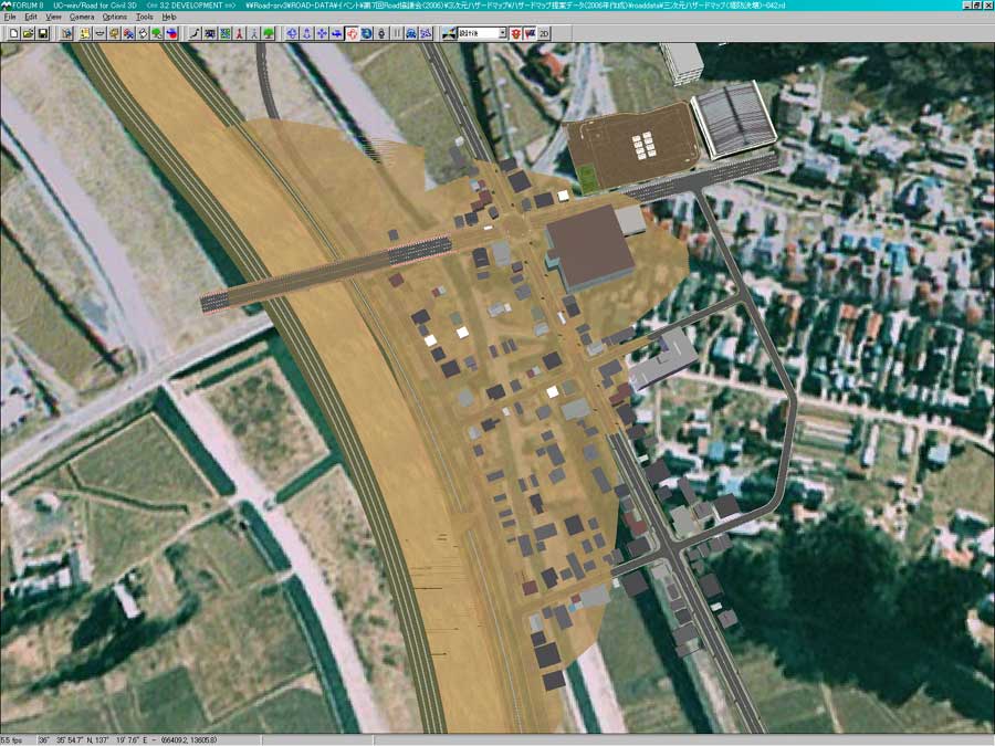
3D hazard map sample model |
|
|
|
The 14th 3D VR Simulation Contest Idea Award
"Using VR to Communicate to the Locals Over Debris Avalanche Countermeasure"
Mitsui Consultants, Kansai Branch |
Debris Avalanche simulation |
|
|
|
|
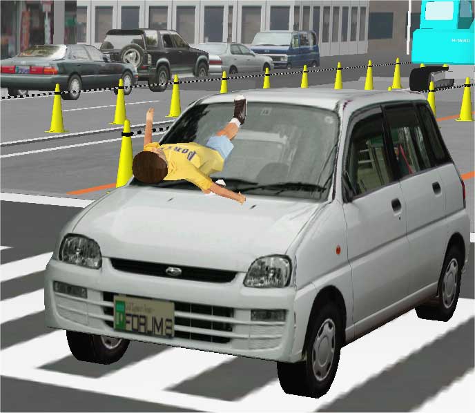
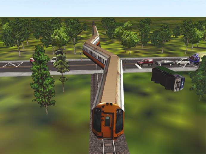
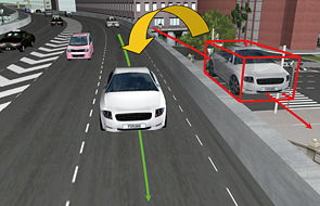
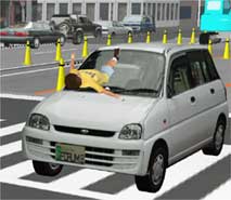
| Accident VR |
Accident can also be visualized in VR simulation. |
| Traffic accident simulation |
|
Car accident simulation |
 |
 |
 |
| 3D Modeling by VR based on accident record, etc. (Provided by Keio University) |
 |
 |
|
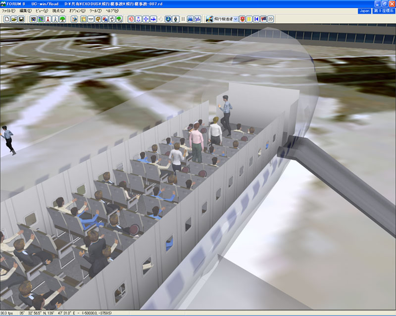
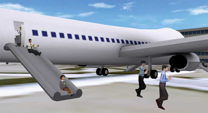
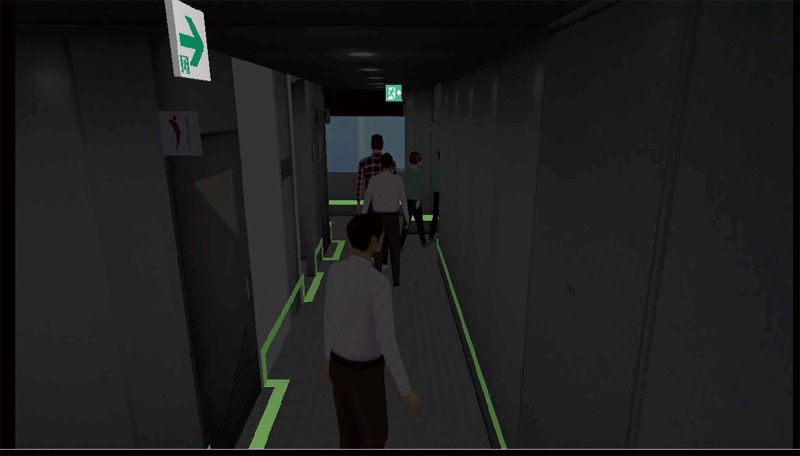
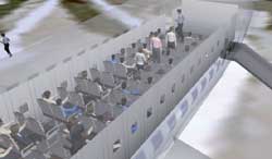
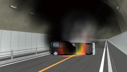
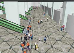
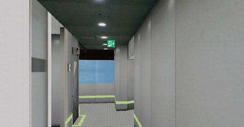
| Evacuation / Fire VR |
Advanced Evacuation/ Fire VR simulation has been available by linking with the evacuation software "EXODUS/SMARTFIRE"developed by the Fire Safety Engineering Group at the University of Greenwich.
Calculation method by evacuation analysis EXODUS is certified as Evacuation
calculation method certified by Tokyo Fire Department. |
| Flight accident |
 |
 |
| Tunnel fire |
 |
 |
| High-rise building fire |
 |
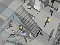 |
7th 3D-VR Simulation Contest Nominate Award
"Evacuation Simulation of Hongqiao Traffic Network Center Building"
By Shanghai T.E.F Building Safety Consulting Co.,Ltd (China) |
 |
 |
The new simulation standard of a Chikko type evacuation guidance system
(Chief of Standard Planning committee: Yukio Ota) |
 |
 |
| Training system for tunnel administrator via VR BMIA(France) |
|
 |
|
FORUM8 won "International tunnel award"
FORUM8's virtual reality tunnel operator system won the award under the
category Safety Initiative of the Year in the "2011 NCE International
Tunneling Awards" on December 1st, 2011. |
 |
 |
|
| Tourism VR |
It can be used for tourist project proposals with exhibition systems and
publications using VR. |
Use VR for tourist information and
history presentations |
Exhibition system using touch sensors |
 |
 |
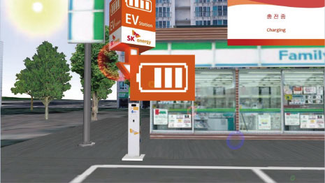
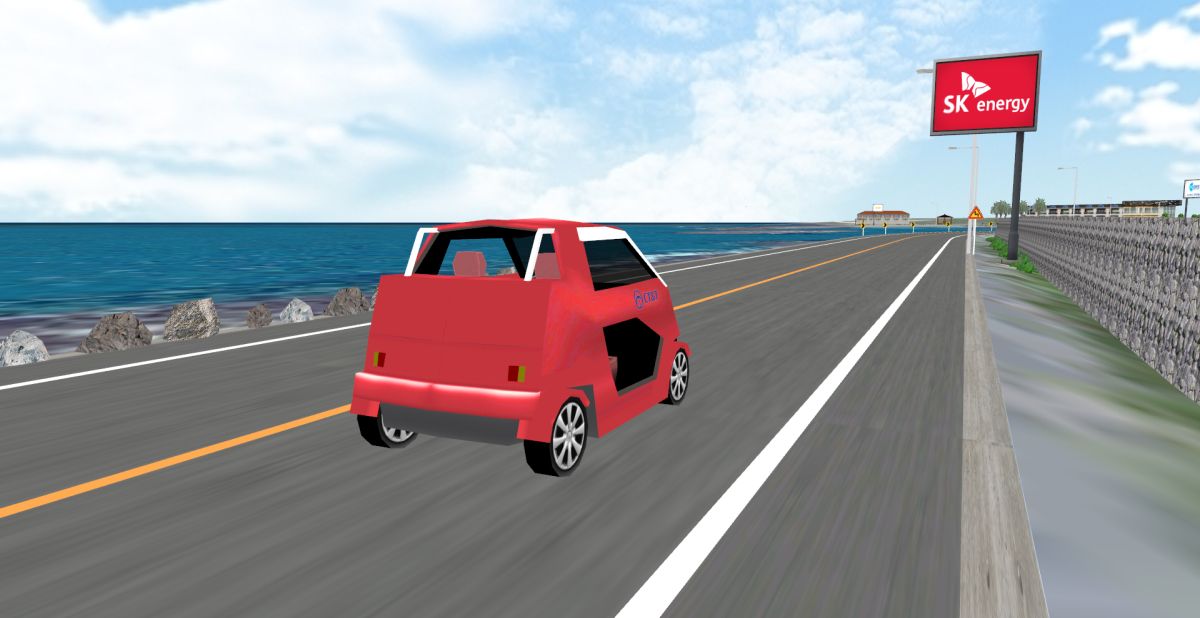
9th 3D-VR Simulation Contest Development Award
"A publicity drive simulator for EV and charging system in SmartGrid"
By SK Energy Co., Ltd. (Korea) |
 |
 |
|
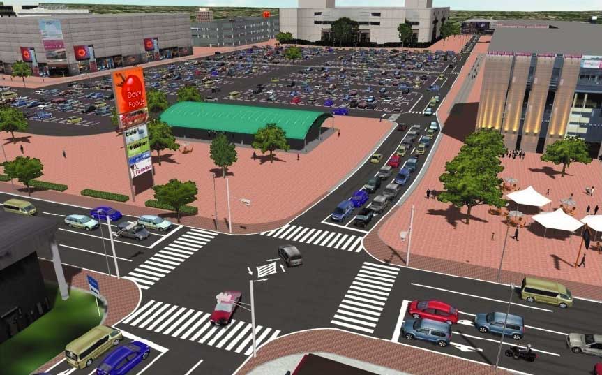
| Store Planning VR |
It can be used for sightseeing promotions like publicity and exhibition
system using VR. |
1.Planning for human and vehicle flow line(Large commercial facility)
- Checking of the overlap flow lines between vehicles and pedestrians after the confirmation of facility area.
2.Planning for building layout
- Planning of the building layout in the site area after the confirmation of the facility size.
3.Planning for parking layout
- Layout of the parking in the site after the confirmation of building layout.
4.Planning for open space(Large commercial facilities)
- Layout of the open space after placing the building and parking (In case of large facility, a certain level of open space is required)
5.Planning for lighting
- Planning of the lighting based on the building and parking arrangement according to the planning of pedestrians/traffic simulation.
6.Planning for advertising tower and direction board layout
- Review the advertising tower layout after the confirmation of building layout
7.Simulation with surrounding road
- Review of the traffic simulation including above 1-6 and the surrounding road
8.Planning for flow line in the commercial facilities
- Verification of the facility layouts in the building for the smooth human flow line
9.Planning for security guards arrangement
- Simulation is available if the data above is gathered on holiday with a lot of visitors.
|
 |
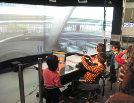
| VR system |
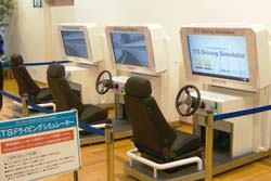
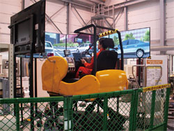
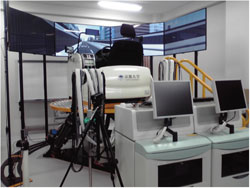
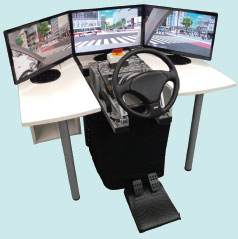
We are working on developing consigned system and customize system involved hardware which is UC-win/Road-centered technologies, such as several drive simulators, VR simulator, ITS simulator, walking simulator, GIS system.
Hardware compatible system (scheduled)
Tracking sensor compatible/ Face mount display/ 3D stereo viewing |
Driving simulator (Hamagin Kodomo
Space Museum, 2009) |
Driving simulator
(TOYOTA AUTO SALON AMLUX TOKYO, 2011) |
 |
 |
Driving simulator for high level research
(Kyushu University, 2012) |
Driving simulator for high level research
(Kyoto University, 2012) |
Driving simulator of elderly drivers
(Meijo University, 2012) |
 |
 |
 |
|
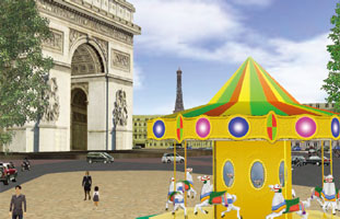
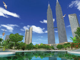
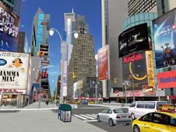
Overseas
example |
Oversea users have been utilizing UC-win/Road VR. It has been introduced
in design companies, engineering companies, government agencies, universities
and research institutes, and further projects are in the pipeline. |
Korea/CAD&VR utilization cases
RoadProjector - Civil 3D - UC-win/Road |
Global Dealer Network
International Partners / International Offices / Dealer network
>> Overseas Agency
>> Branch&Showroom
|
China Support Center (Shanghai local corporation) |
|
Overseas Offices |
: |
Sydney, London, Korea |
|
Overseas Agency |
: |
China (Beijing, Tianjin, Dalian, Shenzhen, Hong-Kong, Taiwan), Korea, USA,
and other |
|
|
 |
| Shanghai, China |
Beijing, China |
 |
 |
 |
| Hong Kong |
Brazil |
Paris, France |
 |
 |
 |
| Kuala Lumpur, Malaysia |
New York |
New Zealand |
 |
 |
 |
| Hanoi |
Thailand |
Bahrain |
 |
 |
 |
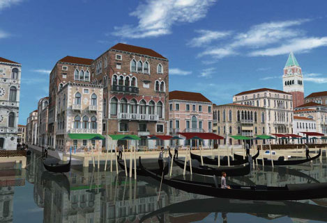
| Korea |
Taiwan |
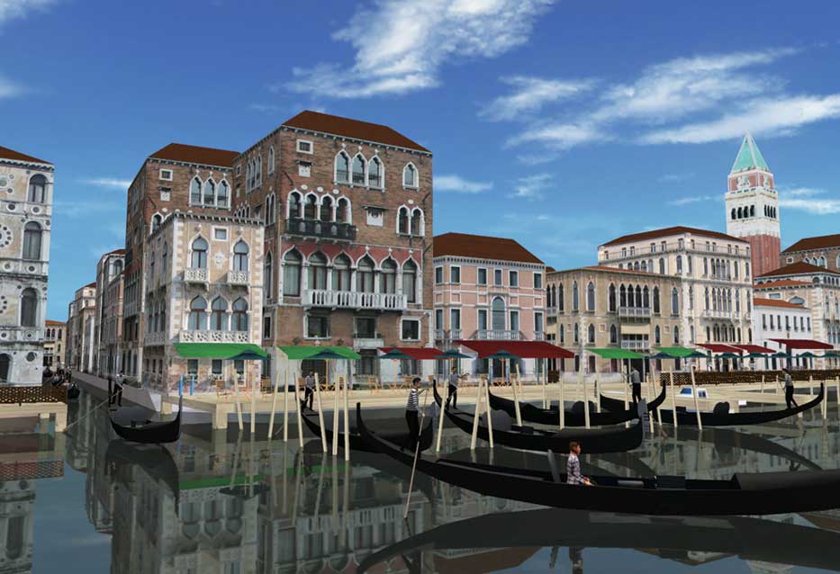
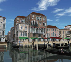
Venice |
 |
 |
 |
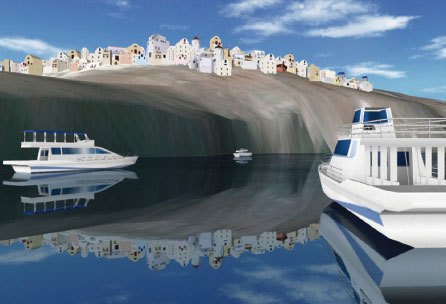
| Strasbourg |
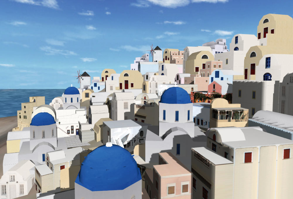
Santorin, Greece |
|
 |
 |
|
|
|
| Page Top |
"City and architecture blog" by Mr. Tomohiro Fukuda is featured
in Up&Coming. FORUM 8 VR support group will challenge the digital city
modeling of cities and architectures introduced by Mr. Fukuda. Please enjoy
it!
|
| Landscape Law |
"Landscape law and road design guidelines (plans)" |
As a response to "Policy outline for beautiful country", established by the Land, Infrastructure and Transportation Ministry in July, 2003, landscape guideline "Road design guideline (plans)" was created for road environments.
The guideline took the "green and landscape law" established in June 2004 into consideration, which is recommended to reflect the quality of all roads as a general rule in road maintenance and improvement.
The definition of road in the guideline is "Road landscape should be considered together with road schemes, plans, designs, construction, and maintenance rather than considering them separately.
The extent of the consideration should go beyond the road itself and should include the surrounding areas". For this reason, large-scale 3-D VR space should be utilized as a useful help in road designing.
Avoiding damage to natural environments by minimizing slopes
Changing lineshapes to avoid damage to natural environments
Preserving natural environments by making tunnel structures of cut ground
"The draft guideline of seashore landscape formation"
"Scenic Byway Japan" (Scenic Byway)
Sample-Echigo-Tsumari art necklace development conception model, Satoyama
biotope and road creating
|
VR Application Cases of projects can be seen with Web Viewer.
 |
(Projects VR model introduction) |
|
|
"Basic verification of models" by UC-win/Road (Ucw) has been posted on the website of Traffic Simulation Clearing House powered
by Japan Society of Traffic Engineers ('09.08.28)
Standard verified items: Vehicle generation, capacity of bottleneck and
saturated traffic rate, capacity of merging point and splitting point,
the number of vehicles of turning right at an intersection |
| ■ Simulation of congestion caused by an increase in traffic demand according
to the construction of large commercial facilities |
●"Simulation and verification report of UC-win/Road" (24 pages, PDF, 1421KB) ('06.03.09)
●UC-win/Road simulation movie  
●Sample images
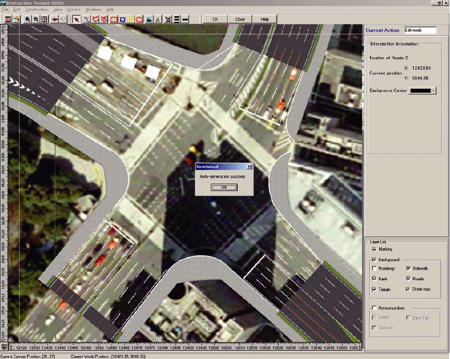
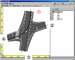
Input of road alignment in UC-win/Road
 |
Input of traffic volume in UC-win/Road
 |
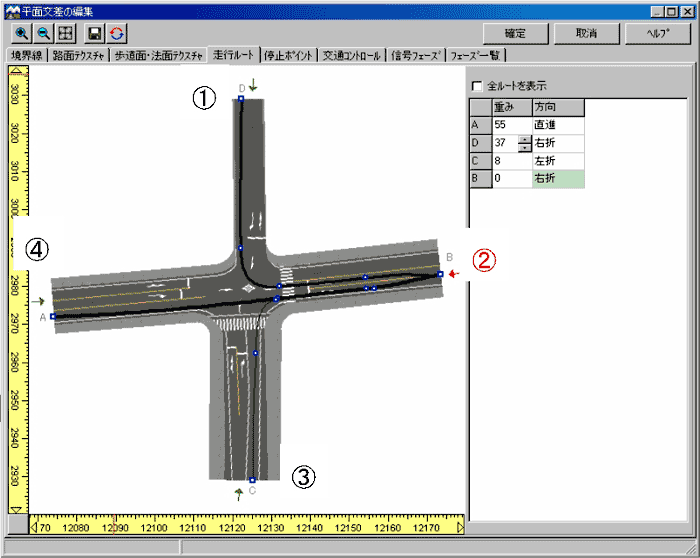
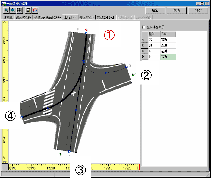
Editing routes at intersection
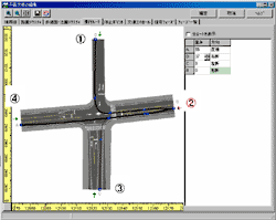 |
 |
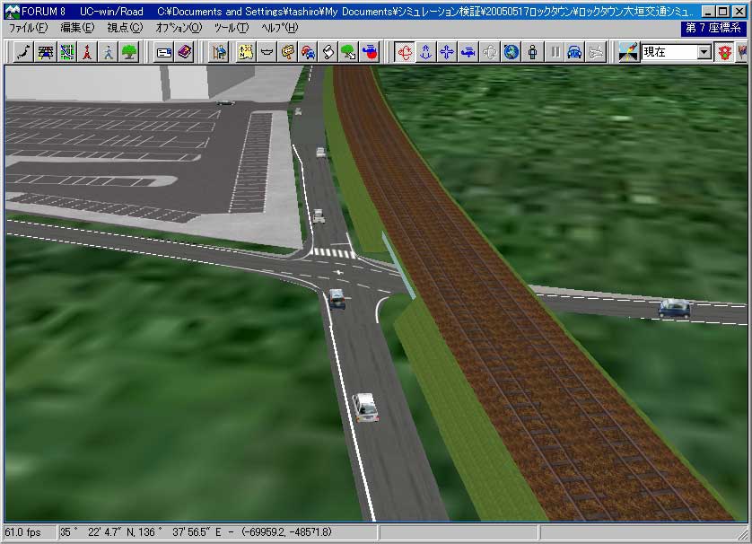
Simulation of the intersection
 |
 |
|
|
| Page Top |