|
 |
|
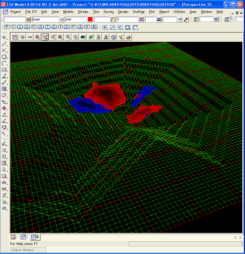
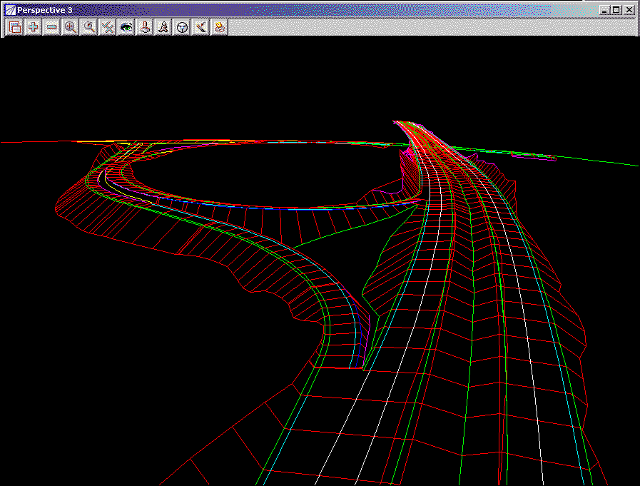
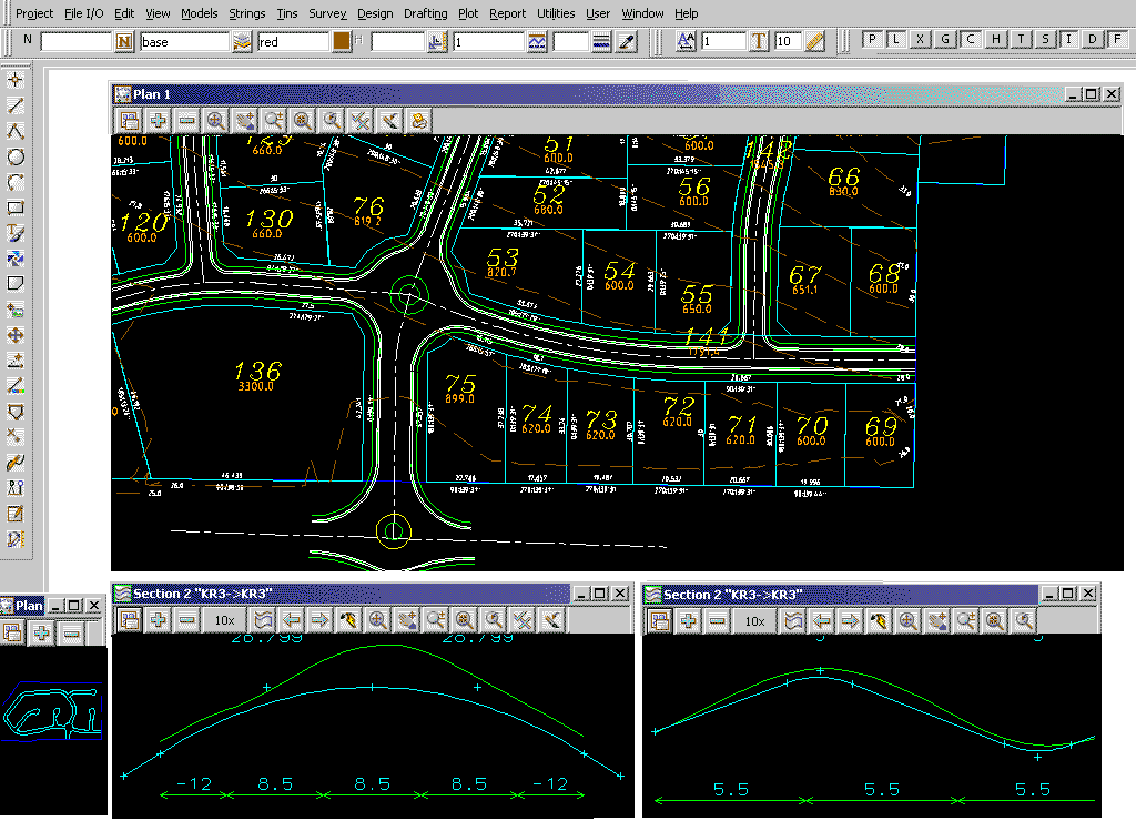
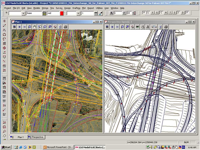
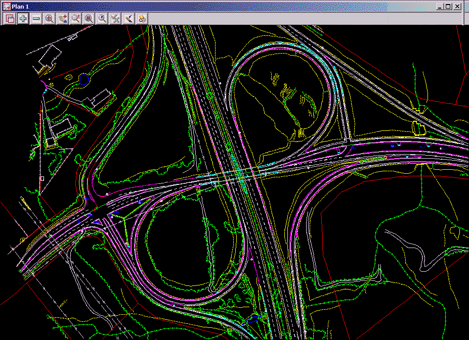
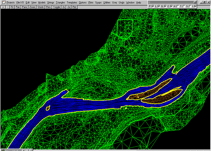
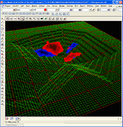
■ 12d Model sample case
Measuring the terrain of the lake bottom at intervals, coloring the sediments
(or the deep place), and displaying it on the bottom terrain.
|
-Green mesh |
: |
Terrain of shore and bottom |
|
-Blue area |
: |
Areas where sediments are piled up.
Well-colored place shows more deposits. |
|
-Red area |
: |
Areas where sand is scraped.
The deeper the color is, the more sand is scraped. |
The places to be colored are determined from the difference between the
terrain created from the previous result and that created from the current
result. |
|