| Functions |
In case of using only Point Cloud data plug-in |
In case of using Photo-processing extension plug-in |
| Import Point Cloud data |
○ |
○ |
| Import configuration files |
× |
○ |
| Create the dot sequence of the center line |
○ |
○ |
| Create the terrain patch |
○ |
○ |
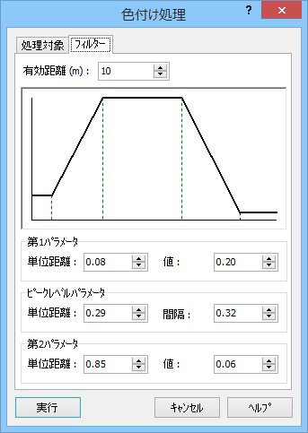
| Coloring |
× |
○ |
| Import / Export settings |
○ |
○ |
| Manage the Point Cloud data |
○ |
○ |
| Control the dot sequence of the center line |
○ |
○ |
| Support to create the cross section of a road |
○ |
○ |
| Edit of configuration |
× |
○ |
| Confirm the camera position |
× |
○ |
| Edit the area whose point cloud is colored |
× |
○ |
| Drawing point cloud option |
○ |
○ |
| Drawing option for coloring |
× |
○ |